Category:Maps of Rouen
Jump to navigation
Jump to search
Wikimedia category | |||||
| Upload media | |||||
| Instance of | |||||
|---|---|---|---|---|---|
| Category combines topics | |||||
| Rouen | |||||
commune in Seine-Maritime, France     | |||||
| Instance of | |||||
| Location | |||||
| Located in or next to body of water | |||||
| Head of government |
| ||||
| Significant event |
| ||||
| Population |
| ||||
| Area |
| ||||
| Elevation above sea level |
| ||||
| Replaces |
| ||||
| Different from | |||||
| official website | |||||
 | |||||
Subcategories
This category has the following 2 subcategories, out of 2 total.
P
Media in category "Maps of Rouen"
The following 19 files are in this category, out of 19 total.
-
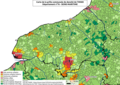 76 SEINE-MARITIME carte grille communale densite INSEE.png 3,507 × 2,480; 3.07 MB
-
 76-AAV2020-Rouen.png 3,519 × 2,930; 2.3 MB
-
 76-Rouen-AAV2020.png 3,519 × 2,930; 3.67 MB
-
 76540-Rouen-Hydro.jpeg 5,846 × 4,133; 5.06 MB
-
 76540-Rouen-Sols.png 3,270 × 2,598; 9.28 MB
-
 76617-Saint-Martin-du-Vivier-Sols.png 3,270 × 2,598; 3.3 MB
-
 Diocèse Rouen 1789.svg 2,000 × 1,922; 801 KB
-
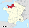
 Karte Frankreich-Rouen.PNG 330 × 355; 36 KB
-
 Map - Rouen France.svg 2,000 × 1,898; 1.53 MB
-
 Map commune FR insee code 76540.png 756 × 605; 109 KB
-
 Map of Rouen.svg 3,742 × 2,728; 3.3 MB
-
 Map Rouen.jpg 2,518 × 1,583; 3.64 MB
-
 Province de Rouen 1789.svg 2,000 × 1,922; 787 KB
-
 Quartiers de Rouen.png 1,552 × 992; 377 KB
-
 Rouen dot.png 1,804 × 1,689; 170 KB
-
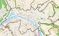
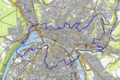
 Rouen OSM 01.png 919 × 610; 493 KB
-
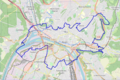
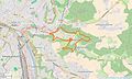
 Rouen OSM 02.png 919 × 610; 833 KB
-
 Saint-Léger-du-Bourg-Denis Limite communale.jpg 953 × 575; 200 KB
-
 Seine river watershed.png 514 × 490; 11 KB


