Category:Maps of São Vicente, Cape Verde
Jump to navigation
Jump to search
Media in category "Maps of São Vicente, Cape Verde"
The following 8 files are in this category, out of 8 total.
-
 IMRAY(1884) p0173 CAPE VERDES, PORTO GRANDE.jpg 1,603 × 2,664; 2.34 MB
-
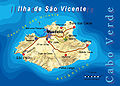
 2007.03.16.cv.SaoVicente.mapa.png 1,206 × 790; 253 KB
-
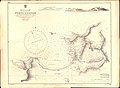 Admiralty Chart No 370 Porto Grande, Published 1874.jpg 11,278 × 8,243; 15.35 MB
-
 Bela-vista-net-Sao Vicente-map.jpg 640 × 459; 86 KB
-
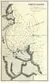
 Frezier Voyage Plan St. Vincent.jpg 1,673 × 2,395; 993 KB
-
 São Vicente - Cape Verde.svg 512 × 343; 123 KB
-
 São Vicente 1863 (cropped).jpg 2,915 × 1,994; 1.96 MB
-
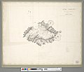 São Vicente 1863.jpg 5,967 × 5,141; 6.24 MB
_p0173_CAPE_VERDES,_PORTO_GRANDE.jpg)


.jpg)
