Category:Maps of the Borough of Northampton
Jump to navigation
Jump to search
English: Maps of the former Northampton district, now in West Northamptonshire district, in the ceremonial county of Northamptonshire, England.
Media in category "Maps of the Borough of Northampton"
The following 11 files are in this category, out of 11 total.
-
 Abington ward.png 1,385 × 1,266; 180 KB
-
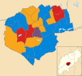
 Northampton UK local election 1999 map.svg 1,385 × 1,266; 199 KB
-
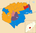
 Northampton UK local election 2003 map.svg 1,385 × 1,266; 199 KB
-
 Northampton UK local election 2007 map.svg 1,385 × 1,266; 199 KB
-
 Northampton UK local election 2011 map.svg 1,385 × 1,266; 256 KB
-
 Northampton UK local election 2015 map.svg 1,385 × 1,266; 256 KB
-
 Northampton UK locator map.svg 1,106 × 1,266; 995 KB
-
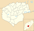 Northampton UK ward map 2010 (blank).svg 1,385 × 1,266; 198 KB
-
 Northampton UK ward map 2011 (blank).svg 1,385 × 1,266; 256 KB
-
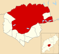 Northampton unparished area UK locator map.svg 1,385 × 1,266; 156 KB
-
 NorthamptonshireNorthampton.png 200 × 222; 14 KB


.svg)
.svg)