Category:Maps of the Borough of Stafford
Jump to navigation
Jump to search
Media in category "Maps of the Borough of Stafford"
The following 5 files are in this category, out of 5 total.
-
 Stafford UK locator map.svg 1,024 × 1,305; 1.03 MB
-
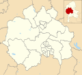 Stafford UK ward map 2010 (blank).svg 1,425 × 1,283; 688 KB
-
 Stafford UK ward map 2015 (blank).svg 1,425 × 1,283; 656 KB
-
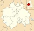
 Stafford unparished area UK locator map.svg 1,425 × 1,283; 837 KB
-
 StaffordshireStafford.png 200 × 302; 21 KB


.svg)
.svg)