Category:Maps of the United States of Brazil
Jump to navigation
Jump to search
Subcategories
This category has only the following subcategory.
O
Media in category "Maps of the United States of Brazil"
The following 10 files are in this category, out of 10 total.
-
 Brasil divisao politico administrativa 1943.PNG 388 × 331; 14 KB
-
 Brazil in 1889.svg 2,008 × 1,986; 1.43 MB
-
 Brazil in 1943.svg 2,008 × 1,987; 1.5 MB
-
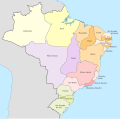
 Brazil provinces 1889.png 302 × 331; 7 KB
-
 Brazil Provinces 1889.svg 2,008 × 1,984; 1.13 MB
-
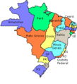
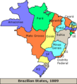 Brazil states1889.png 302 × 331; 8 KB
-
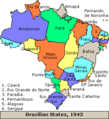 Brazil states1943.png 302 × 331; 9 KB
-
 Iguaçu in Brazil (1943).svg 2,008 × 1,987; 1.36 MB
-
 Ponta Porã in Brazil (1943).svg 2,008 × 1,987; 1.36 MB
-
 Princesa in Brazil (1930).png 2,678 × 2,646; 714 KB


.svg)
.svg)
.png)