Category:Public transport maps of Antalya
Jump to navigation
Jump to search
Media in category "Public transport maps of Antalya"
The following 3 files are in this category, out of 3 total.
-
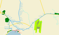
 Antalya Railway Network Map.svg 512 × 362; 293 KB
-
 Antalya Railway Systems Network Map.svg 512 × 392; 63 KB
-
 AntrayHarita.png 1,600 × 960; 235 KB


