Category:Public transport maps of Donetsk
Jump to navigation
Jump to search
Subcategories
This category has the following 2 subcategories, out of 2 total.
T
- Tram maps of Donetsk (16 F)
- Trolleybus maps of Donetsk (22 F)
Media in category "Public transport maps of Donetsk"
The following 9 files are in this category, out of 9 total.
-
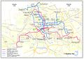
 Donbass public transport system map (with stations).jpg 26,318 × 25,974; 93.16 MB
-
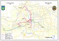
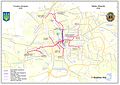
 Donetsk map transport.jpg 731 × 600; 306 KB
-
 Donetsk trans 1934.jpg 1,587 × 1,122; 297 KB
-
 Donetsk trans 1941.jpg 1,587 × 1,122; 305 KB
-
 Donetsk trans 1955.jpg 1,587 × 1,122; 307 KB
-
 Donetsk trans 1970.jpg 1,587 × 1,122; 330 KB
-
 Donetsk trans 1983.jpg 1,587 × 1,122; 331 KB
-
 Donetsk trans 1992.jpg 1,587 × 1,122; 340 KB
-
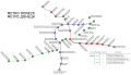 Metro Donezk.svg 1,169 × 663; 71 KB

.jpg)