Category:Rail transport maps of Rutland
Jump to navigation
Jump to search
Media in category "Rail transport maps of Rutland"
The following 12 files are in this category, out of 12 total.
-
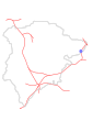
 B'ham-Peterborough Line Map.png 1,324 × 527; 954 KB
-
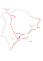
 Birmingham–Peterborough line.png 2,647 × 1,485; 3.17 MB
-
 Essendine Station.svg 744 × 1,052; 63 KB
-
 Manton Station.svg 744 × 1,052; 63 KB
-
 Morcott Station.svg 744 × 1,052; 63 KB
-
 Oakham Station.svg 744 × 1,052; 63 KB
-
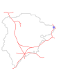
 Oakham–Kettering line.png 1,315 × 1,222; 1.02 MB
-
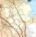 Rail transport infrastructure map - UK - East Midlands.svg 983 × 1,020; 6.31 MB
-
 Ryhall Station.svg 744 × 1,052; 63 KB
-
 Seaton Station.svg 744 × 1,052; 63 KB
-
 Uppingham Station.svg 744 × 1,052; 63 KB
-
 Whissendine Station.svg 744 × 1,052; 63 KB


