Category:Satellite pictures of Hyogo prefecture
Jump to navigation
Jump to search
Media in category "Satellite pictures of Hyogo prefecture"
The following 12 files are in this category, out of 12 total.
-
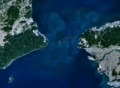
 Akashi-Strait 1.png 1,194 × 900; 690 KB
-
 Awaji, Japan.jpg 2,048 × 1,280; 948 KB
-
 Awaji-island 1.png 903 × 995; 372 KB
-
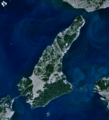
 Awajishima satellite map.jpg 548 × 783; 35 KB
-
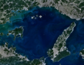 Harima-Nada 1.png 1,203 × 921; 755 KB
-
 Kitan-Strait 1.png 1,274 × 936; 682 KB
-
 Kobe Portisland-Aerial photography 1976.jpg 2,500 × 2,500; 4.6 MB
-
 Naruto Strait NASA WorldWind Outflow.jpg 1,024 × 658; 89 KB
-
 Naruto-Strait 1.png 1,156 × 873; 557 KB
-
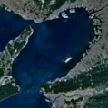 Osaka-Bay 1.png 938 × 949; 502 KB
-
 PortIslandCloseup 2003262.jpg 489 × 501; 106 KB
-
 Wfm kansai overview.jpg 3,703 × 3,235; 2.42 MB


