Category:West Sussex photographs taken on 2008-10-02
Jump to navigation
Jump to search
Subcategories
This category has the following 2 subcategories, out of 2 total.
Media in category "West Sussex photographs taken on 2008-10-02"
The following 25 files are in this category, out of 25 total.
-
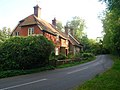
 Abbots House - geograph.org.uk - 991114.jpg 640 × 479; 127 KB
-
 Beech Trees, Chanctonbury Ring - geograph.org.uk - 991340.jpg 479 × 640; 164 KB
-
 Can You Guess What it is Yet^ - geograph.org.uk - 990981.jpg 479 × 640; 199 KB
-
 Chanctonbury Ring - geograph.org.uk - 991317.jpg 640 × 479; 87 KB
-
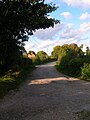
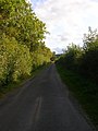 Chanctonbury Ring Road - geograph.org.uk - 991194.jpg 479 × 640; 99 KB
-

-
 Downland near Frieslands - geograph.org.uk - 991482.jpg 640 × 479; 106 KB
-
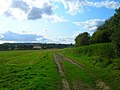 Farm Track, New Barn - geograph.org.uk - 991085.jpg 640 × 479; 98 KB
-
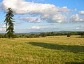
 Field near New Barn - geograph.org.uk - 991079.jpg 640 × 479; 83 KB
-
 Fields near Great Barn Farm - geograph.org.uk - 991210.jpg 640 × 485; 103 KB
-
 Footpath to All Saints Chapel - geograph.org.uk - 991128.jpg 479 × 640; 182 KB
-
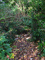
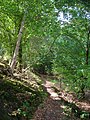
 Footpath to The Hollow - geograph.org.uk - 990964.jpg 640 × 479; 97 KB
-
 Footpath to The Hollow - geograph.org.uk - 990982.jpg 479 × 640; 198 KB
-
 Former Chalk Pit, Chalkpit Wood - geograph.org.uk - 991260.jpg 479 × 640; 148 KB
-
-
 Jockey Meadow - geograph.org.uk - 990939.jpg 640 × 479; 111 KB
-
 Longback Cottages, Water Lane - geograph.org.uk - 991125.jpg 640 × 479; 100 KB
-
 South Downs Way - geograph.org.uk - 991285.jpg 479 × 640; 91 KB
-
 South Downs Way - geograph.org.uk - 991336.jpg 640 × 479; 84 KB
-
 The Hollow - geograph.org.uk - 990990.jpg 479 × 640; 117 KB
-
 View from Chanctonbury Hill - geograph.org.uk - 991330.jpg 640 × 479; 92 KB
-
 View from Chanctonbury Ring - geograph.org.uk - 991344.jpg 640 × 456; 68 KB
-
 Water Trough, Chanctonbury Hill - geograph.org.uk - 991301.jpg 479 × 640; 71 KB
-
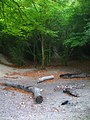
 Well Bottom - geograph.org.uk - 991378.jpg 640 × 479; 69 KB
-
 Well Bottom - geograph.org.uk - 991868.jpg 640 × 480; 128 KB


