File:Žilina Region demis background map.png
Jump to navigation
Jump to search
Size of this preview: 778 × 600 pixels. Other resolutions: 312 × 240 pixels | 623 × 480 pixels | 996 × 768 pixels | 1,280 × 987 pixels | 1,357 × 1,046 pixels.
Original file (1,357 × 1,046 pixels, file size: 1.18 MB, MIME type: image/png)
Captions
Captions
Add a one-line explanation of what this file represents
Summary[edit]
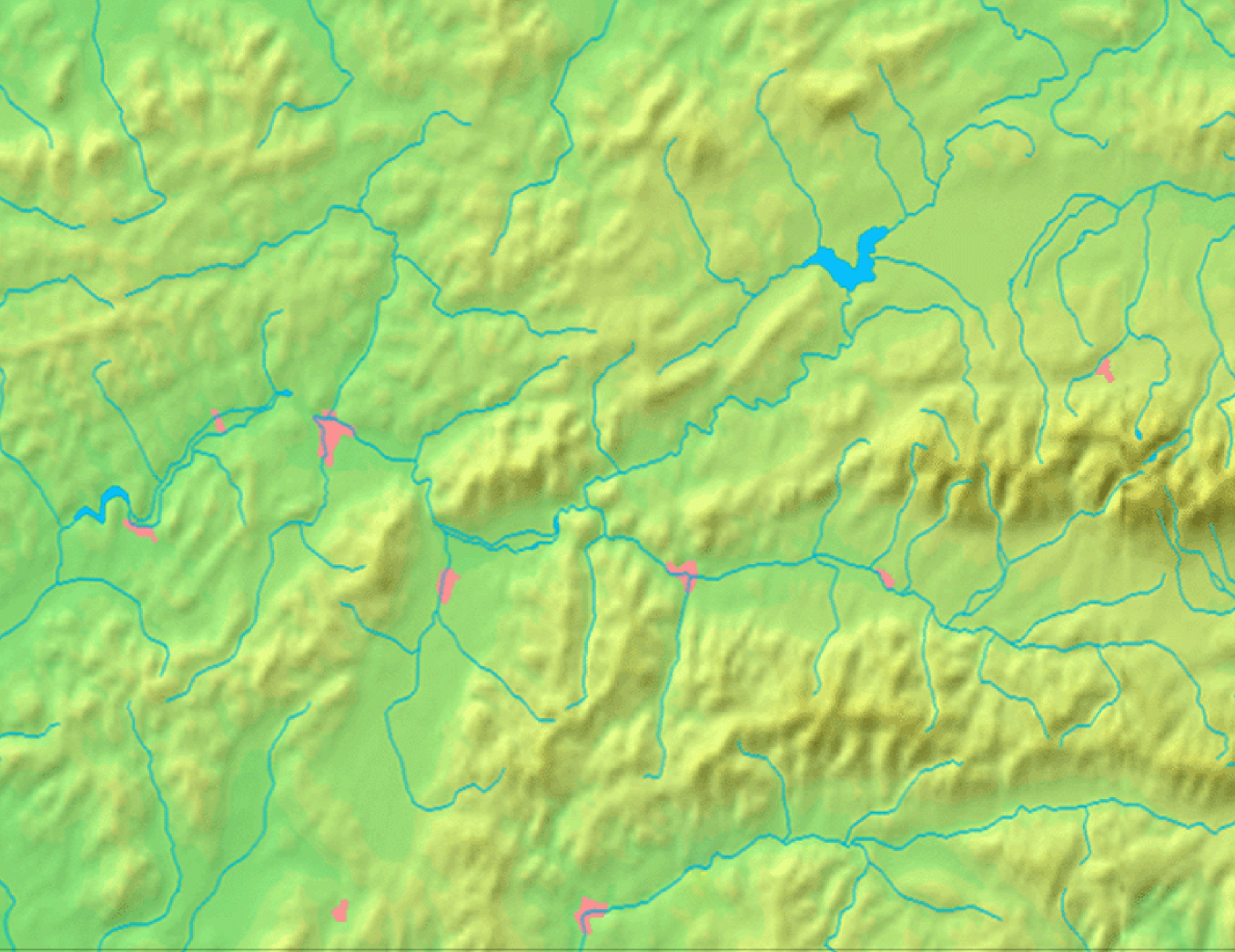
| Description | Background map of the Žilina Region, Slovakia, the same boundaries as Image:Žilina Region with districts map.svg | ||||
| Date | |||||
| Source | Made my myself from free maps available at www.demis.nl | ||||
| Author | Caroig | ||||
| Permission (Reusing this file) |
|
File history
Click on a date/time to view the file as it appeared at that time.
| Date/Time | Thumbnail | Dimensions | User | Comment | |
|---|---|---|---|---|---|
| current | 08:40, 3 September 2007 | | 1,357 × 1,046 (1.18 MB) | Caroig (talk | contribs) | == Summary == {{Information |Description=Background map of the Žilina Region, Slovakia, the same boundaries as Image:Žilina Region with districts map.png |SourceMade my myself from free maps available at www.demis.nl |Date=2007-09-03 |Author=[[:en: |
You cannot overwrite this file.
File usage on Commons
There are no pages that use this file.