File:103rd OVI complex.jpg
Jump to navigation
Jump to search

Size of this preview: 800 × 532 pixels. Other resolutions: 320 × 213 pixels | 640 × 426 pixels | 1,024 × 681 pixels | 1,280 × 851 pixels | 2,560 × 1,702 pixels | 6,016 × 4,000 pixels.
Original file (6,016 × 4,000 pixels, file size: 6.35 MB, MIME type: image/jpeg)
Captions
Captions
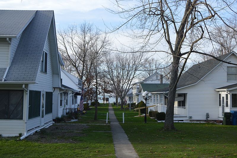
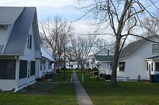
Taylor/Ford Cottages
Summary[edit]
| Description |
English: Cottages at the 103rd OVI complex, located at 5501 Lake Road (U.S. Route 6) in Avon Lake, Ohio, United States. In the distance (highlighted) is the 103rd Ohio Volunteer Infantry Association Barracks, a museum concentrating on the history of the 103rd Ohio Infantry; built in 1910, it is listed on the National Register of Historic Places.
|
||
| Date | Taken on 19 April 2016 | ||
| Source | Own work | ||
| Author | Nyttend | ||
| Permission (Reusing this file) |
|
| Camera location | | View this and other nearby images on: OpenStreetMap |
|---|
| Annotations | This image is annotated: View the annotations at Commons |
File history
Click on a date/time to view the file as it appeared at that time.
| Date/Time | Thumbnail | Dimensions | User | Comment | |
|---|---|---|---|---|---|
| current | 14:14, 26 May 2016 | | 6,016 × 4,000 (6.35 MB) | Nyttend (talk | contribs) | {{NRHP|78002106}} {{Location|41|30|0|N|82|4|8|W}} {{Information |Description={{en|Cottages at the 103rd OVI complex, located at 5501 Lake Road ({{w|U.S. Route 6}}) in {{w|Avon Lake, Ohio|Avon Lake}}, {{w|Ohio}}, {{w|United States}}. In the distance (h... |
You cannot overwrite this file.
File usage on Commons
There are no pages that use this file.
File usage on other wikis
The following other wikis use this file:
- Usage on en.wikipedia.org
- Usage on en.wikivoyage.org