File:14th century Portolan chart of the Mediterranean and the Black Sea.tif
Jump to navigation
Jump to search

Size of this JPG preview of this TIF file: 800 × 585 pixels. Other resolutions: 320 × 234 pixels | 640 × 468 pixels | 1,024 × 748 pixels | 1,280 × 935 pixels | 2,560 × 1,871 pixels | 5,486 × 4,009 pixels.
Original file (5,486 × 4,009 pixels, file size: 62.94 MB, MIME type: image/tiff)
Captions
Captions
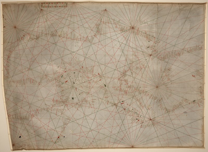
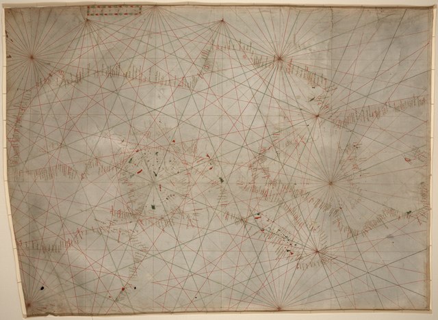
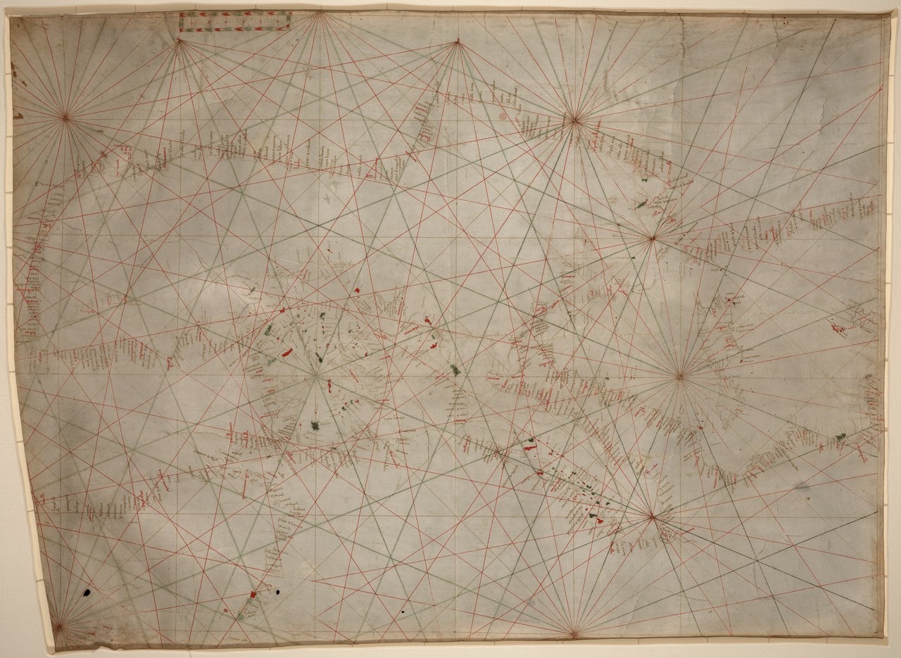
14th century Portolan chart of the Mediterranean and the Black Sea
Summary[edit]
| Description |
English: 14th century Portolan chart of the Mediterranean and the Black Sea |
||
| Date | 14th century | ||
| Source |
|
||
| Author | Unknown author |

Licensing[edit]
|
This work is in the public domain in its country of origin and other countries and areas where the copyright term is the author's life plus 70 years or fewer. This work is in the public domain in the United States because it was published (or registered with the U.S. Copyright Office) before January 1, 1929. | |
| This file has been identified as being free of known restrictions under copyright law, including all related and neighboring rights. | |
File history
Click on a date/time to view the file as it appeared at that time.
| Date/Time | Thumbnail | Dimensions | User | Comment | |
|---|---|---|---|---|---|
| current | 23:06, 23 March 2019 |  | 5,486 × 4,009 (62.94 MB) | Balkanique (talk | contribs) | User created page with UploadWizard |
You cannot overwrite this file.
File usage on Commons
There are no pages that use this file.