File:ANZAC war memorial in Hyde Park (cropped).jpg
From Wikimedia Commons, the free media repository
Jump to navigation
Jump to search
Size of this preview: 800 × 458 pixels. Other resolutions: 320 × 183 pixels | 640 × 367 pixels | 1,024 × 587 pixels | 1,726 × 989 pixels.
Original file (1,726 × 989 pixels, file size: 1.88 MB, MIME type: image/jpeg)
File information
Structured data
Captions
Summary[edit]
DescriptionANZAC war memorial in Hyde Park (cropped).jpg |
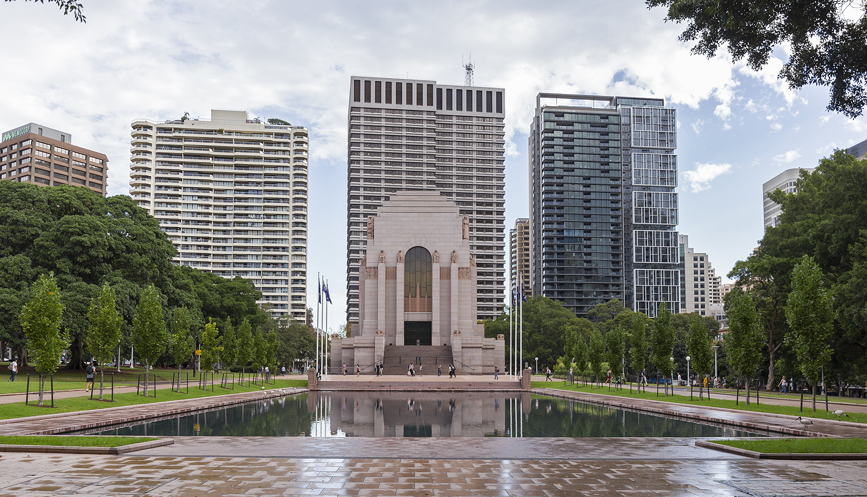
English: ANZAC war memorial in Hyde Park |
|||
Date | ||||
Source | Own work | |||
Author | Bidgee | |||
Other versions |
|
Camera location | 33° 52′ 29.23″ S, 151° 12′ 40.06″ E | View this and other nearby images on: OpenStreetMap | -33.874785; 151.211127 |
---|
Licensing[edit]
This file is licensed under the Creative Commons Attribution-Share Alike 3.0 Australia license.
Attribution: Robert Myers (CC-BY-SA 3.0 AU)
- You are free:
- to share – to copy, distribute and transmit the work
- to remix – to adapt the work
- Under the following conditions:
- attribution – You must give appropriate credit, provide a link to the license, and indicate if changes were made. You may do so in any reasonable manner, but not in any way that suggests the licensor endorses you or your use.
- share alike – If you remix, transform, or build upon the material, you must distribute your contributions under the same or compatible license as the original.
File history
Click on a date/time to view the file as it appeared at that time.
Date/Time | Thumbnail | Dimensions | User | Comment | |
---|---|---|---|---|---|
current | 12:31, 18 April 2021 | 1,726 × 989 (1.88 MB) | Democfest (talk | contribs) | File:ANZAC war memorial in Hyde Park.jpg cropped 14 % horizontally, 26 % vertically using CropTool with precise mode. |
You cannot overwrite this file.
File usage on Commons
The following page uses this file:
File usage on other wikis
The following other wikis use this file:
- Usage on en.wikipedia.org
- Usage on it.wikipedia.org
- Usage on ur.wikipedia.org
- Usage on zh.wikipedia.org
Metadata
This file contains additional information such as Exif metadata which may have been added by the digital camera, scanner, or software program used to create or digitize it. If the file has been modified from its original state, some details such as the timestamp may not fully reflect those of the original file. The timestamp is only as accurate as the clock in the camera, and it may be completely wrong.
Camera manufacturer | Canon |
---|---|
Camera model | Canon EOS 6D |
Author | Robert Myers |
Copyright holder |
|
Exposure time | 1/320 sec (0.003125) |
F-number | f/4 |
ISO speed rating | 320 |
Date and time of data generation | 16:42, 6 March 2019 |
Lens focal length | 24 mm |
Latitude | 33° 52′ 29.23″ S |
Longitude | 151° 12′ 40.06″ E |
Altitude | 29.7 meters above sea level |
Orientation | Normal |
Horizontal resolution | 180 dpi |
Vertical resolution | 180 dpi |
Software used | Adobe Photoshop CS6 (Macintosh) |
File change date and time | 07:19, 3 April 2019 |
Exposure Program | Manual |
Exif version | 2.3 |
Date and time of digitizing | 16:42, 6 March 2019 |
APEX shutter speed | 8.321928 |
APEX aperture | 4 |
APEX exposure bias | 0 |
Maximum land aperture | 4 APEX (f/4) |
Metering mode | Pattern |
Flash | Flash did not fire, compulsory flash suppression |
DateTime subseconds | 00 |
DateTimeOriginal subseconds | 00 |
DateTimeDigitized subseconds | 00 |
Color space | Uncalibrated |
Focal plane X resolution | 1,520 |
Focal plane Y resolution | 1,520 |
Focal plane resolution unit | 3 |
Custom image processing | Normal process |
Exposure mode | Manual exposure |
White balance | Manual white balance |
Scene capture type | Standard |
GPS time (atomic clock) | 06:42:17.997 |
Satellites used for measurement | 12 |
Receiver status | Measurement in progress |
Measurement mode | 3-dimensional measurement |
Measurement precision | Poor (8.8) |
Geodetic survey data used | WGS-84 |
GPS date | 6 March 2019 |
GPS tag version | 0.0.3.2 |
Serial number of camera | 155053000002 |
Lens used | EF24-70mm f/4L IS USM |
Rating (out of 5) | 0 |
Date metadata was last modified | 18:19, 3 April 2019 |
Unique ID of original document | DF30AA855B66C0E78BC99BD7FB375A17 |
Structured data
Items portrayed in this file
depicts
33°52'29.226"S, 151°12'40.057"E
6 March 2019
0.003125 second
24 millimetre
320
image/jpeg
9600609cd05728b2030b829aacfe5673935bdf8a
1,975,610 byte
989 pixel
1,726 pixel
Hidden categories:
- Extracted images
- Files with coordinates missing SDC location of creation (34° S, 151° E)
- CC-BY-SA-3.0-AU
- Taken with Canon EOS 6D and Canon EF 24-70mm F4L IS USM
- Taken with Canon EOS 6D
- Photographs by Bidgee sponsored by Wikimedia Australia (second large grant)
- Australia photographs taken on 2019-03-06
- Pages with maps