File:A Rapid Deployment Gauge in San Lorenzo, Morovis, Puerto Rico.jpg
Jump to navigation
Jump to search

Size of this preview: 800 × 600 pixels. Other resolutions: 320 × 240 pixels | 640 × 480 pixels | 1,024 × 768 pixels | 1,280 × 960 pixels | 2,560 × 1,920 pixels | 3,264 × 2,448 pixels.
Original file (3,264 × 2,448 pixels, file size: 3.07 MB, MIME type: image/jpeg)
Captions
Captions
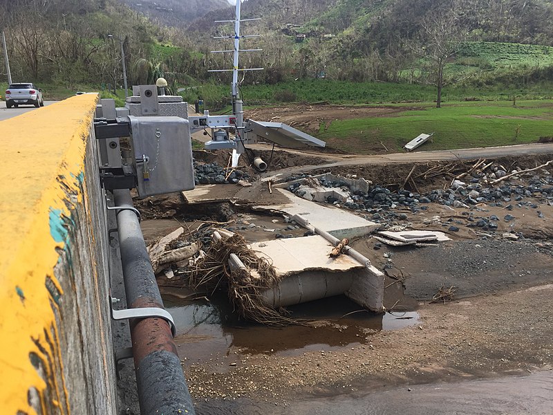
A Rapid Deployment Gauge in San Lorenzo, Morovis, Puerto Rico
Summary[edit]
| Description |
English: A Rapid Deployment Gauge in San Lorenzo, Morovis, Puerto Rico |
| Date | |
| Source | https://www.usgs.gov/media/images/a-rapid-deployment-gauge-puerto-rico |
| Author | USGS |
| Camera location | | View this and other nearby images on: OpenStreetMap |
|---|
Licensing[edit]
This image is in the public domain in the United States because it only contains materials that originally came from the United States Geological Survey, an agency of the United States Department of the Interior. For more information, see the official USGS copyright policy.
|
File history
Click on a date/time to view the file as it appeared at that time.
| Date/Time | Thumbnail | Dimensions | User | Comment | |
|---|---|---|---|---|---|
| current | 17:59, 5 September 2021 | | 3,264 × 2,448 (3.07 MB) | The Eloquent Peasant (talk | contribs) | Uploaded a work by USGS from https://www.usgs.gov/media/images/a-rapid-deployment-gauge-puerto-rico with UploadWizard |
You cannot overwrite this file.
File usage on Commons
There are no pages that use this file.
File usage on other wikis
The following other wikis use this file:
- Usage on en.wikipedia.org