File:Administrative map of Italy showing regions, provinces and communes.png
Jump to navigation
Jump to search

Size of this preview: 463 × 599 pixels. Other resolutions: 185 × 240 pixels | 371 × 480 pixels | 593 × 768 pixels | 791 × 1,024 pixels | 1,632 × 2,112 pixels.
Original file (1,632 × 2,112 pixels, file size: 198 KB, MIME type: image/png)
Captions
Captions
Add a one-line explanation of what this file represents
Summary[edit]
| Description |
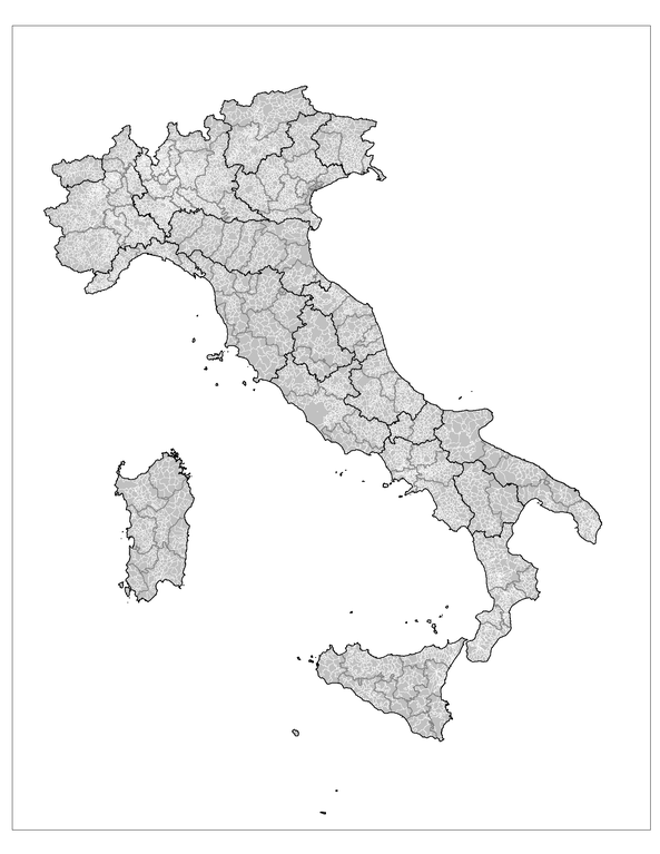
English: Administrative map of Italy showing the regions (black borders), the provinces (grey borders), and the communes (white borders). |
||
| Date | |||
| Source | Own work using: MapInfo Professional v8.5 (and various mapping resources) | ||
| Author | Rarelibra | ||
| Permission (Reusing this file) |
|
||
| Other versions |
Derivative works of this file: |

|
File:Regions, provinces and municipalities in Italy.svg is a vector version of this file. It should be used in place of this PNG file when not inferior.
File:Administrative map of Italy showing regions, provinces and communes.png → File:Regions, provinces and municipalities in Italy.svg
For more information, see Help:SVG. |
 |
File history
Click on a date/time to view the file as it appeared at that time.
| Date/Time | Thumbnail | Dimensions | User | Comment | |
|---|---|---|---|---|---|
| current | 14:25, 29 November 2007 | | 1,632 × 2,112 (198 KB) | Rarelibra (talk | contribs) | updated map - better borders, total conflation, and new color schema |
| 22:27, 5 January 2007 |  | 816 × 1,056 (57 KB) | Rarelibra (talk | contribs) | Map of the municipalities of Italy. Created by ~~~~ for public domain use, using MapInfo Professional v8.5 and various mapping resources. |
You cannot overwrite this file.
File usage on Commons
The following 3 pages use this file:
File usage on other wikis
The following other wikis use this file:
- Usage on ar.wikipedia.org
- Usage on arz.wikipedia.org
- Usage on be.wikipedia.org
- Usage on cy.wikipedia.org
- Usage on fa.wikipedia.org
- Usage on fi.wikipedia.org
- Usage on fr.wikipedia.org
- Usage on hi.wikipedia.org
- Usage on hy.wikipedia.org
- Usage on ia.wikipedia.org
- Usage on kk.wikipedia.org
- Usage on ko.wikipedia.org
- Usage on mk.wikipedia.org
- Usage on nl.wikinews.org
- Usage on ro.wikipedia.org
- Usage on ru.wikipedia.org
- Usage on sv.wikipedia.org
- Usage on tg.wikipedia.org
- Usage on uz.wikipedia.org
- Usage on www.wikidata.org
- Usage on zh-min-nan.wikipedia.org
- Usage on zh.wikipedia.org