File:Admiralty Chart No 3193 Cebu Harbour and Approaches, Published 1966.jpg
Jump to navigation
Jump to search

Size of this preview: 410 × 599 pixels. Other resolutions: 164 × 240 pixels | 328 × 480 pixels | 525 × 768 pixels | 701 × 1,024 pixels | 1,402 × 2,048 pixels | 11,110 × 16,233 pixels.
Original file (11,110 × 16,233 pixels, file size: 69.11 MB, MIME type: image/jpeg)
Captions
Captions
Nautical chart of Cebu Harbour and Approaches
Summary[edit]
| Description |
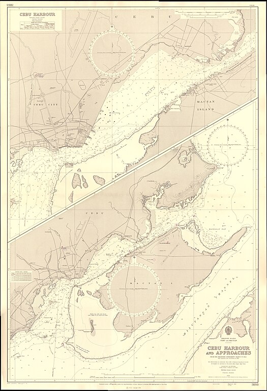
English: Nautical chart of Cebu Harbour and Approaches. Not current - not to be used for navigation! |
||||||||||
| Date | |||||||||||
| Source | Scan of original Admiralty Chart | ||||||||||
| Author |
|
||||||||||
Licensing[edit]
This work created by the United Kingdom Government is in the public domain.
This is because it is one of the following:
HMSO has declared that the expiry of Crown Copyrights applies worldwide (ref: HMSO Email Reply)
|
 |
File history
Click on a date/time to view the file as it appeared at that time.
| Date/Time | Thumbnail | Dimensions | User | Comment | |
|---|---|---|---|---|---|
| current | 14:13, 22 February 2024 | | 11,110 × 16,233 (69.11 MB) | Kognos (talk | contribs) | Uploaded a work by {{Creator:United Kingdom Hydrographic Office}} from Scan of original Admiralty Chart with UploadWizard |
You cannot overwrite this file.
File usage on Commons
There are no pages that use this file.