File:Alberta Highway 15.svg
Jump to navigation
Jump to search

Size of this PNG preview of this SVG file: 450 × 600 pixels. Other resolutions: 180 × 240 pixels | 360 × 480 pixels | 576 × 768 pixels | 768 × 1,024 pixels | 1,536 × 2,048 pixels.
Original file (SVG file, nominally 450 × 600 pixels, file size: 6 KB)
Captions
Captions
Add a one-line explanation of what this file represents
Summary[edit]
| Description |
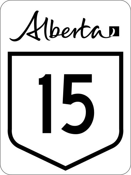
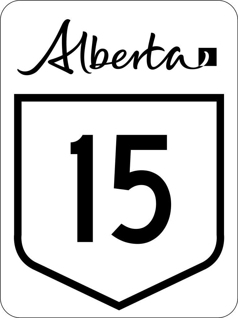
English: Alberta Highway 15 road sign. |
||
| Date | (UTC) | ||
| Source | File:Alberta primary highway template.svg | ||
| Author | Svgalbertian | ||
| Permission (Reusing this file) |
The Alberta workmark is a trademark of the Government of Alberta.
|
||
| Other versions | File:Alberta Highway 15 (1970s).svg |

.svg)
This vector image includes elements that have been taken or adapted from this file:
This vector image includes elements that have been taken or adapted from this file:
Licensing[edit]
| This work is ineligible for copyright and therefore in the public domain because it consists entirely of information that is common property and contains no original authorship. |
File history
Click on a date/time to view the file as it appeared at that time.
| Date/Time | Thumbnail | Dimensions | User | Comment | |
|---|---|---|---|---|---|
| current | 23:34, 27 February 2016 | | 450 × 600 (6 KB) | Highway Route Marker Bot (talk | contribs) | New version of sign |
| 01:19, 19 October 2010 |  | 450 × 600 (5 KB) | Highway Route Marker Bot (talk | contribs) | Reprocess due to issue with the number '5' in latest version of Roadgeek font. | |
| 16:23, 4 July 2010 |  | 450 × 600 (3 KB) | DieBucheBot (talk | contribs) | Optimizing SVG size | |
| 13:53, 2 July 2010 |  | 450 × 600 (62 KB) | DieBucheBot (talk | contribs) | Optimizing SVG size | |
| 23:10, 28 March 2009 |  | 450 × 600 (78 KB) | Svgalbertian (talk | contribs) | {{Information |Description={{en|1=Alberta Highway 15 road sign}} |Source=Own work by uploader |Author=Svgalbertian |Date=2009-03-28 |Permission=The Alberta workmark is a trademark of the Government of Alberta. |other_versions=[[:File |
You cannot overwrite this file.
File usage on Commons
The following 2 pages use this file:
File usage on other wikis
The following other wikis use this file:
- Usage on de.wikipedia.org
- Usage on en.wikipedia.org
- List of Alberta provincial highways
- Edmonton Transit Service
- Strathcona County
- Alberta Highway 16
- Anthony Henday Drive
- Alberta Highway 21
- Alberta Highway 14
- Alberta Highway 15
- Alberta Highway 28A
- Alberta Highway 37
- Alberta Highway 45
- List of highways numbered 15
- Stadium station (Edmonton)
- Edmonton LRT
- Clareview station
- Belvedere station (Edmonton)
- Coliseum station (Edmonton)
- Churchill station (Edmonton)
- Central station (Edmonton)
- Bay/Enterprise Square station
- Corona station (Edmonton)
- Government Centre station
- University station (Edmonton)
- Health Sciences/Jubilee station
- McKernan/Belgravia station
- South Campus/Fort Edmonton Park station
- Southgate station (Edmonton)
- Century Park station (Edmonton)
- Alberta Highway 29
- Wikipedia talk:Route diagram template
- Jasper Avenue
- Dudley B. Menzies Bridge
- Template:Edmonton LRT
- D.L. MacDonald Yard
- 50 Street, Edmonton
- Template talk:Edmonton LRT
- National Highway System (Canada)
- Fort Road & Manning Drive
- Alberta Highway 14X
- MacEwan station
- Kingsway/Royal Alex station
- Alberta Highway 855
- Template:Infobox road/testcases/CAN
- Yellowhead Trail
View more global usage of this file.