File:Andorra location map.svg
Jump to navigation
Jump to search

Size of this PNG preview of this SVG file: 683 × 599 pixels. Other resolutions: 274 × 240 pixels | 547 × 480 pixels | 875 × 768 pixels | 1,167 × 1,024 pixels | 2,333 × 2,048 pixels | 1,161 × 1,019 pixels.
Original file (SVG file, nominally 1,161 × 1,019 pixels, file size: 149 KB)
Captions
Captions
Add a one-line explanation of what this file represents
Summary[edit]
| Description |
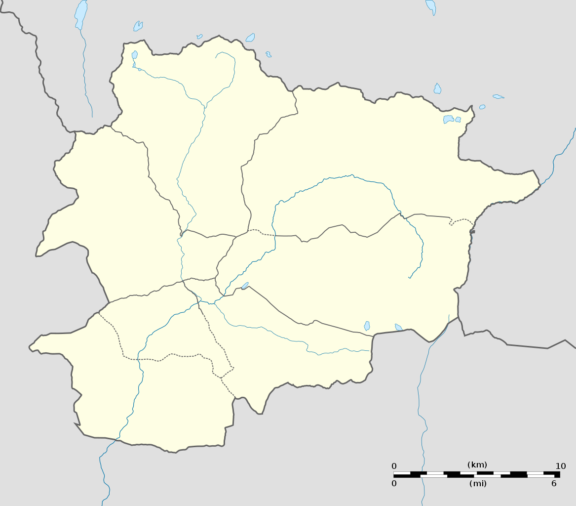
English: Blank administrative map of Andorra with parishes boundaries for geo-location purpose.
Note: Dotted lines are boundaries estimated from very small scale reference maps. Français : Carte administrative vierge de l'Andorre avec limites des paroisses destinée à la géolocalisation. Note : les lignes pointillées sont des limites estimées à partir de cartes de référence à très petite échelle. Equirectangular projection, WGS84 datum
Topographic scale: 1:372,000 (precision: 93 m)
|
||
| Date | |||
| Source |
Own work (Original text: Own work) |
||
| Author | Eric Gaba (Sting - fr:Sting) | ||
| Permission (Reusing this file) |
|
||
| Other versions |
|
||
| SVG development |

| Camera location | | View this and other nearby images on: OpenStreetMap |
|---|
Licensing[edit]
I, the copyright holder of this work, hereby publish it under the following licenses:
This file is licensed under the Creative Commons Attribution-Share Alike 3.0 Unported license.
- You are free:
- to share – to copy, distribute and transmit the work
- to remix – to adapt the work
- Under the following conditions:
- attribution – You must give appropriate credit, provide a link to the license, and indicate if changes were made. You may do so in any reasonable manner, but not in any way that suggests the licensor endorses you or your use.
- share alike – If you remix, transform, or build upon the material, you must distribute your contributions under the same or compatible license as the original.

|
Permission is granted to copy, distribute and/or modify this document under the terms of the GNU Free Documentation License, Version 1.2 or any later version published by the Free Software Foundation; with no Invariant Sections, no Front-Cover Texts, and no Back-Cover Texts. A copy of the license is included in the section entitled GNU Free Documentation License. |
You may select the license of your choice.
File history
Click on a date/time to view the file as it appeared at that time.
| Date/Time | Thumbnail | Dimensions | User | Comment | |
|---|---|---|---|---|---|
| current | 20:06, 27 December 2010 | | 1,161 × 1,019 (149 KB) | Sting (talk | contribs) | Added parishes boundaries (some of them estimated) |
| 20:02, 17 December 2008 |  | 1,161 × 1,019 (142 KB) | Sting (talk | contribs) | Deleted temporary parishes boundaries | |
| 20:01, 17 December 2008 |  | 1,161 × 1,019 (171 KB) | Sting (talk | contribs) | Corrections on international boundaries; added (incomplete but reliable) parishes boundaries | |
| 20:24, 16 December 2008 |  | 1,161 × 1,019 (116 KB) | Sting (talk | contribs) | == Summary == {{Location|42|32|15|N|01|36|00|E|scale:200000}} <br/> {{Information |Description={{en|Blank administrative map of Andorra for geo-location purpose.}} {{fr|Carte administrative vierge de l'Andorre destinée à |
You cannot overwrite this file.
File usage on Commons
The following 12 pages use this file:
- Andorra
- User:Sting/Gallery: Location and locator maps
- User talk:NordNordWest/Archive12
- File:Andorra la Vella in Andorra.svg
- File:Andorra relief location map.jpg
- File:Canillo in Andorra.svg
- File:Encamp in Andorra.svg
- File:Escaldes-Engordany in Andorra.svg
- File:La Massana in Andorra.svg
- File:Ordino in Andorra.svg
- File:Sant Julia de Loria in Andorra.svg
- Category:Andorra
File usage on other wikis
The following other wikis use this file:
- Usage on af.wikipedia.org
- Usage on an.wikipedia.org
- Usage on ar.wikipedia.org
- Usage on ast.wikipedia.org
- Les Escaldes
- Puertu d'Envalira
- Andorra la Vieya
- Soldeu
- Llagos de Tristaina
- El Tarter
- Incles
- Arans
- Comapedrosa
- Módulu:Mapa de llocalización/datos/Andorra
- Módulu:Mapa de llocalización/datos/Andorra/usu
- Helipuertu d'Andorra la Vieya
- Casa de la Vall
- Ilesia de San Esteban (Andorra)
- Pont de la Margineda
- Ilesia de Sant Vicenç d'Enclar
- Ilesia de Santa Coloma (Andorra)
- Hospital Nostra Senyora de Meritxell
- Usage on av.wikipedia.org
- Usage on az.wikipedia.org
- Usage on ba.wikipedia.org
- Usage on be-tarask.wikipedia.org
- Usage on be.wikipedia.org
- Usage on bg.wikipedia.org
- Usage on bn.wikipedia.org
- Usage on bs.wikipedia.org
View more global usage of this file.