File:Archaeological Site 15HE580.jpg
Jump to navigation
Jump to search
Size of this preview: 800 × 450 pixels. Other resolutions: 320 × 180 pixels | 640 × 360 pixels | 1,024 × 576 pixels | 1,280 × 720 pixels | 2,816 × 1,584 pixels.
Original file (2,816 × 1,584 pixels, file size: 912 KB, MIME type: image/jpeg)
Captions
Captions
Add a one-line explanation of what this file represents
Summary[edit]
|
This is an image of a place or building that is listed on the National Register of Historic Places in the United States of America. Its reference number is 86000642. |
| Camera location | | View this and other nearby images on: OpenStreetMap |
|---|
| Description |
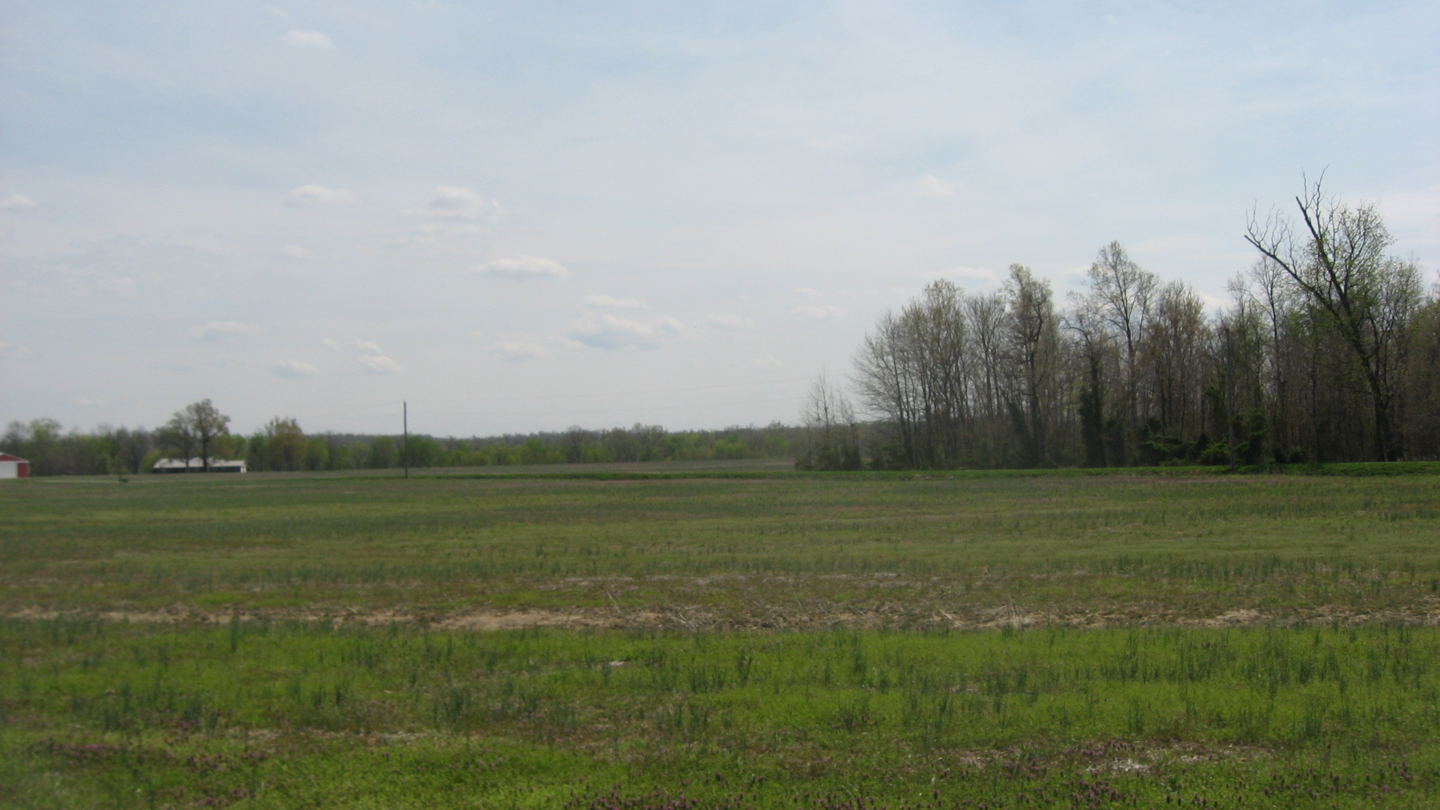
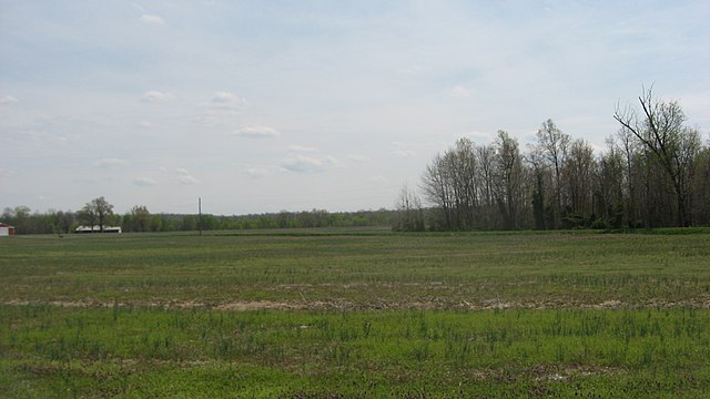
English: Overlooking what remains of Archaeological Site 15HE580, a shell midden that was once located in the center of the pictured area. Located off the southern end of Reed Bluff City Road northeast of Bluff City in Butler County, Kentucky, United States, it is an archaeological site and listed on the National Register of Historic Places. In 1994, it was declared part of the Green River Shell Middens Archeological District, a National Historic Landmark. |
||
| Date | Taken on 18 April 2014 | ||
| Source | Own work | ||
| Author | Nyttend | ||
| Permission (Reusing this file) |
|
File history
Click on a date/time to view the file as it appeared at that time.
| Date/Time | Thumbnail | Dimensions | User | Comment | |
|---|---|---|---|---|---|
| current | 11:57, 3 May 2014 | | 2,816 × 1,584 (912 KB) | Nyttend (talk | contribs) | {{NRHP|86000642}} {{Location|37|48|25|N|87|21|56|W}} {{Information |Description={{en|Overlooking what remains of {{w|Archaeological Site 15HE580}}, a {{w|midden|shell midden}} that was once located in the center of the pictured area. Located off the s... |
You cannot overwrite this file.
File usage on Commons
There are no pages that use this file.
File usage on other wikis
The following other wikis use this file:
- Usage on de.wikipedia.org
- Usage on en.wikipedia.org