File:Australia Western Australia relief location map.png
Jump to navigation
Jump to search

Size of this preview: 415 × 599 pixels. Other resolutions: 166 × 240 pixels | 333 × 480 pixels | 532 × 768 pixels | 710 × 1,024 pixels | 1,416 × 2,043 pixels.
Original file (1,416 × 2,043 pixels, file size: 1.1 MB, MIME type: image/png)
Captions
Captions
Add a one-line explanation of what this file represents
Summary[edit]
| Description |
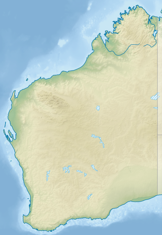
English: Relief location map of Western Australia, Australia
Equidistant cylindrical projection, latitude of true scale 24.62° S (equivalent to equirectangular projection with N/S stretching 110 %). Geographic limits of the map:
|
| Date | |
| Source |
|
| Author | Tentotwo |
Licensing[edit]
I, the copyright holder of this work, hereby publish it under the following license:
This file is licensed under the Creative Commons Attribution-Share Alike 3.0 Unported license.
- You are free:
- to share – to copy, distribute and transmit the work
- to remix – to adapt the work
- Under the following conditions:
- attribution – You must give appropriate credit, provide a link to the license, and indicate if changes were made. You may do so in any reasonable manner, but not in any way that suggests the licensor endorses you or your use.
- share alike – If you remix, transform, or build upon the material, you must distribute your contributions under the same or compatible license as the original.

|
This map has been made or improved in the German Kartenwerkstatt (Map Lab). You can propose maps to improve as well.
|
File history
Click on a date/time to view the file as it appeared at that time.
| Date/Time | Thumbnail | Dimensions | User | Comment | |
|---|---|---|---|---|---|
| current | 21:25, 9 August 2023 | | 1,416 × 2,043 (1.1 MB) | Lojwe (talk | contribs) | Cropped < 1 % horizontally, < 1 % vertically using CropTool with precise mode. |
| 18:27, 2 February 2013 |  | 1,423 × 2,052 (1.12 MB) | Tentotwo (talk | contribs) | User created page with UploadWizard |
You cannot overwrite this file.
File usage on Commons
The following page uses this file:
- File:Western australia relief location map.png (file redirect)
File usage on other wikis
The following other wikis use this file:
- Usage on als.wikipedia.org
- Usage on ar.wikipedia.org
- Usage on ast.wikipedia.org
- Usage on az.wikipedia.org
- Usage on ban.wikipedia.org
- Usage on bg.wikipedia.org
- Usage on ceb.wikipedia.org
- Usage on ckb.wikipedia.org
- Usage on da.wikipedia.org
- Usage on de.wikipedia.org
- Easter Group
- Lacepedeinseln
- Lake Argyle
- Purnululu-Nationalpark
- Bungle Bungle
- Windjana-Gorge-Nationalpark
- Wolfe-Creek-Krater-Nationalpark
- Shark Bay
- Cape-Arid-Nationalpark
- Nambung-Nationalpark
- Mirima-Nationalpark
- Tunnel-Creek-Nationalpark
- Mount Augustus
- Mount Gabi
- Karijini-Nationalpark
- Kalbarri-Nationalpark
- Marinefunkstelle Harold E. Holt
- Ningaloo Reef
- Cape-Range-Nationalpark
- Dirk Hartog Island
- Dampier-Archipel
- Buccaneer-Archipel
- Barrow Island (Western Australia)
- François-Péron-Nationalpark
- Houtman-Abrolhos-Archipel
- Wallabi-Inseln
- Pelsaert-Inseln
- North Island (Houtman-Abrolhos)
- Montebello-Inseln
- Mount-Augustus-Nationalpark
View more global usage of this file.