File:Azerbaijan blank.png
Jump to navigation
Jump to search
Size of this preview: 756 × 600 pixels. Other resolutions: 303 × 240 pixels | 605 × 480 pixels | 969 × 768 pixels | 1,280 × 1,015 pixels | 2,000 × 1,586 pixels.
Original file (2,000 × 1,586 pixels, file size: 201 KB, MIME type: image/png)
Captions
Captions
Add a one-line explanation of what this file represents

|
This locator map image could be re-created using vector graphics as an SVG file. This has several advantages; see Commons:Media for cleanup for more information. If an SVG form of this image is available, please upload it and afterwards replace this template with
{{vector version available|new image name}}.
It is recommended to name the SVG file “Azerbaijan blank.svg”—then the template Vector version available (or Vva) does not need the new image name parameter. |
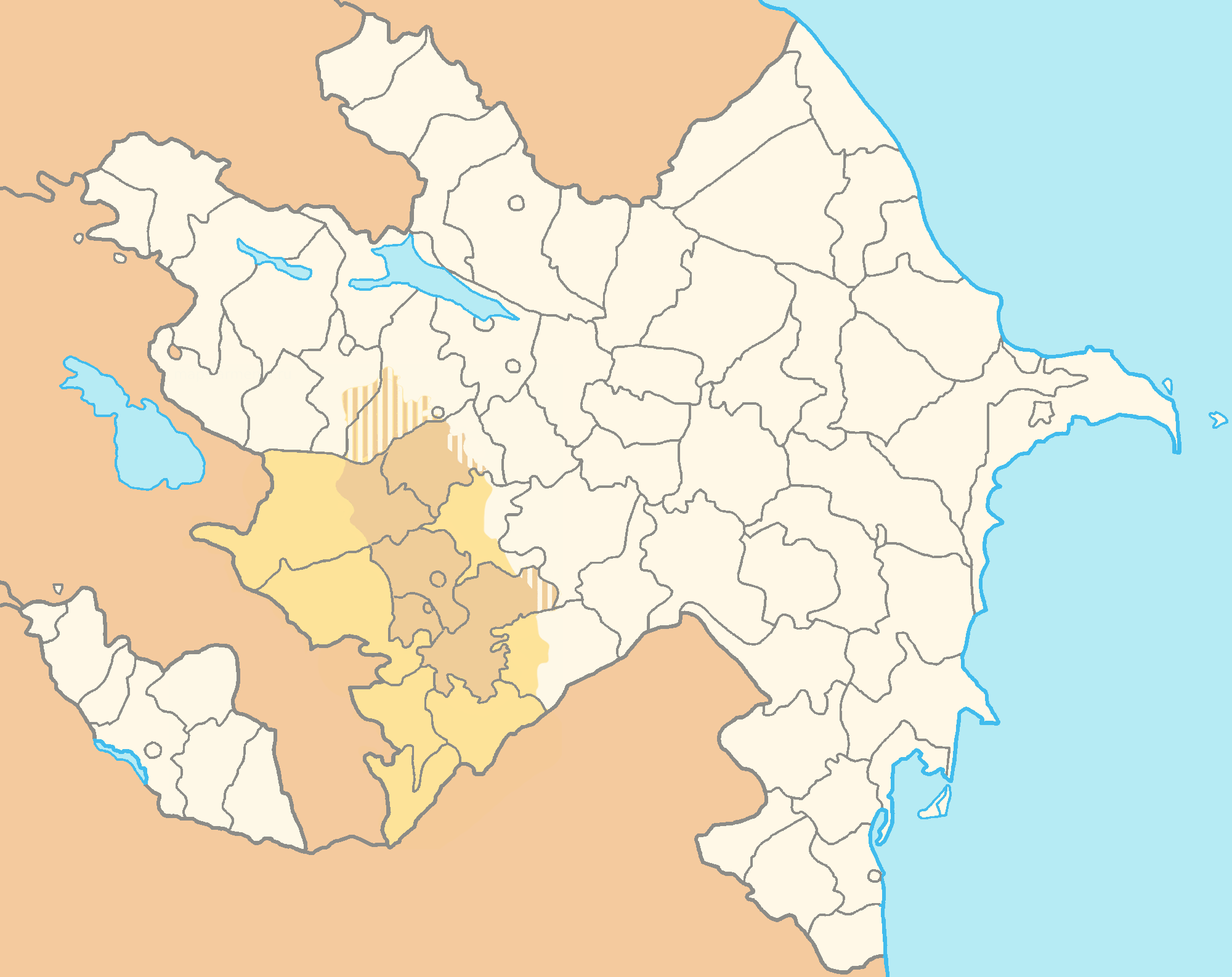
Location map of Azerbaijan CIA-colors
TimBits from [[:commons:|commons]], the copyright holder of this work, hereby publishes it under the following license:

|
Permission is granted to copy, distribute and/or modify this document under the terms of the GNU Free Documentation License, Version 1.2 or any later version published by the Free Software Foundation; with no Invariant Sections, no Front-Cover Texts, and no Back-Cover Texts. A copy of the license is included in the section entitled GNU Free Documentation License. |
| This file is licensed under the Creative Commons Attribution-Share Alike 3.0 Unported license. | ||
| Attribution: TimBits | ||
| ||
| This licensing tag was added to this file as part of the GFDL licensing update. |
Adapted for use as location-map by Bemoeial2 16:37, 29 July 2007 (UTC)
File history
Click on a date/time to view the file as it appeared at that time.
| Date/Time | Thumbnail | Dimensions | User | Comment | |
|---|---|---|---|---|---|
| current | 20:09, 16 January 2010 | | 2,000 × 1,586 (201 KB) | Dinamik (talk | contribs) | new supposed map doesn't show actual situation in country |
| 12:53, 15 January 2010 |  | 2,000 × 1,586 (139 KB) | Wertuose (talk | contribs) | Azerbaijan present day map | |
| 17:25, 1 December 2009 |  | 2,000 × 1,586 (201 KB) | Dinamik (talk | contribs) | technical correction | |
| 17:23, 1 December 2009 |  | 2,000 × 1,586 (201 KB) | Dinamik (talk | contribs) | technical correction of 16:02, 28 ноября 2009 version(actual borders-see disc) | |
| 16:02, 28 November 2009 |  | 2,000 × 1,586 (201 KB) | Golbez (talk | contribs) | rv; discuss. | |
| 17:48, 22 November 2009 |  | 2,000 × 1,586 (139 KB) | Aghvank (talk | contribs) | Azerbaijan present day map | |
| 17:47, 22 November 2009 |  | 2,000 × 1,586 (139 KB) | Aghvank (talk | contribs) | Reverted to version as of 16:37, 29 July 2007 | |
| 19:33, 21 November 2009 |  | 2,000 × 1,586 (201 KB) | Dinamik (talk | contribs) | according to discussion:actual borders of NKR,not NKAO | |
| 14:03, 21 November 2009 |  | 2,000 × 1,586 (141 KB) | Baki66 (talk | contribs) | Reverted to version as of 21:17, 31 October 2009 | |
| 08:14, 16 November 2009 |  | 2,000 × 1,586 (201 KB) | Dinamik (talk | contribs) | Technical correction of 11:34, 1 November 2009 version (actual borders) |
You cannot overwrite this file.
File usage on Commons
There are no pages that use this file.
File usage on other wikis
The following other wikis use this file:
- Usage on de.wikipedia.org
- Usage on ru.wikipedia.org