File:Cartouche in Oriental-India (Indochina) map by Bonne.jpg
Jump to navigation
Jump to search
Size of this preview: 641 × 600 pixels. Other resolutions: 257 × 240 pixels | 513 × 480 pixels | 821 × 768 pixels | 1,095 × 1,024 pixels | 1,330 × 1,244 pixels.
Original file (1,330 × 1,244 pixels, file size: 559 KB, MIME type: image/jpeg)
Captions
Captions
Add a one-line explanation of what this file represents
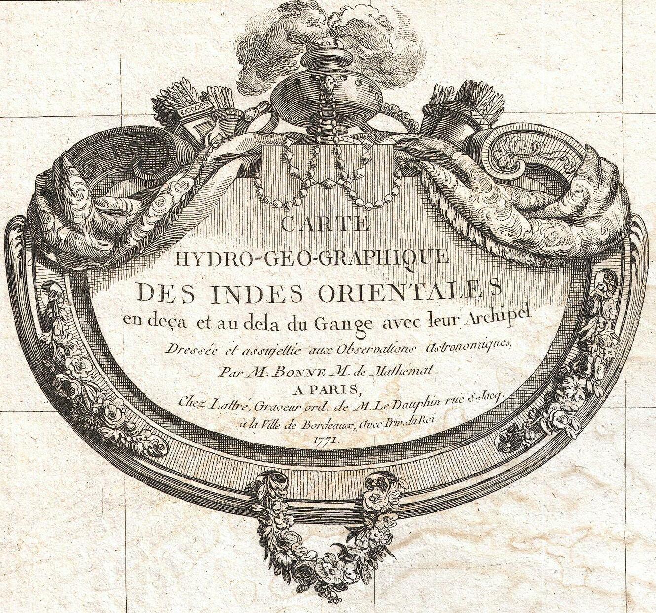
| Rigobert Bonne: Carte Hydro-Geo-Graphique des Indes Orientales en deca et au dela du Gange avec leur Archipel Dressee et assujettie aux Observations Astronomiques.
( |
|||||||||||||||||||||||
|---|---|---|---|---|---|---|---|---|---|---|---|---|---|---|---|---|---|---|---|---|---|---|---|
| Artist |
|
||||||||||||||||||||||
| Title |
Carte Hydro-Geo-Graphique des Indes Orientales en deca et au dela du Gange avec leur Archipel Dressee et assujettie aux Observations Astronomiques. |
||||||||||||||||||||||
| Description |
English: A beautiful example of Rigobert Bonne's 1771 uncommon map of southeastern China. Covers from the Kingdom of Siam (Thailand) to include Laos, Tonkin (northern Vietnam), Cochin Chi (southern Vietnam), the island of Hainan, Formosa (Taiwan) and the Island of Luzon (northern Philippines). Notes Macao and Canton and shows, but does not label, Hong Kong Island. Tayoan is noted on Formosa. Offers little inland detail with regard to China itself. Notes in the upper right hand corner comment on the Monsoons. Rhumb lines throughout. Arrows in the lower right show the direction of the prevailing winds. A fine map of the region. Drawn by R. Bonne in 1771 for issue as plate no. C 26 in Jean Lattre's 1776 issue of the Atlas Moderne . |
||||||||||||||||||||||
| Date | 1771 (dated) | ||||||||||||||||||||||
| Dimensions | height: 12 in (30.4 cm); width: 16.5 in (41.9 cm) | ||||||||||||||||||||||
| Accession number |
Geographicus link: Formosa-bonne-1771 |
||||||||||||||||||||||
| Source/Photographer |
Lattre, Jean, Atlas Moderne ou Collection de Cartes sur Toutes les Parties du Globe Terrestre, c. 1775.
|
||||||||||||||||||||||
| Permission (Reusing this file) |
|
||||||||||||||||||||||
| Other versions | |||||||||||||||||||||||
_China,_Formosa_(Taiwan)_and_Luzon_(Philippines)_-_Geographicus_-_Formosa-bonne-1771.jpg)
File history
Click on a date/time to view the file as it appeared at that time.
| Date/Time | Thumbnail | Dimensions | User | Comment | |
|---|---|---|---|---|---|
| current | 14:14, 23 March 2023 | | 1,330 × 1,244 (559 KB) | Enyavar (talk | contribs) | File:1771 Bonne Map of Tonkin (Vietnam) China, Formosa (Taiwan) and Luzon (Philippines) - Geographicus - Formosa-bonne-1771.jpg cropped 67 % horizontally, 57 % vertically using CropTool with precise mode. |
You cannot overwrite this file.
File usage on Commons
The following 2 pages use this file:
_map_by_Bonne.jpg)
_map_by_Bonne.jpg&oldid=849416722)