File:Charity's House site in Falmouth.jpg
Jump to navigation
Jump to search
Size of this preview: 800 × 600 pixels. Other resolutions: 320 × 240 pixels | 640 × 480 pixels | 1,024 × 768 pixels | 1,280 × 960 pixels | 2,560 × 1,920 pixels | 2,816 × 2,112 pixels.
Original file (2,816 × 2,112 pixels, file size: 2.06 MB, MIME type: image/jpeg)
Captions
Captions
Add a one-line explanation of what this file represents
|
This is an image of a place or building that is listed on the National Register of Historic Places in the United States of America. Its reference number is 83002848. |
| Camera location | | View this and other nearby images on: OpenStreetMap |
|---|
| Description |
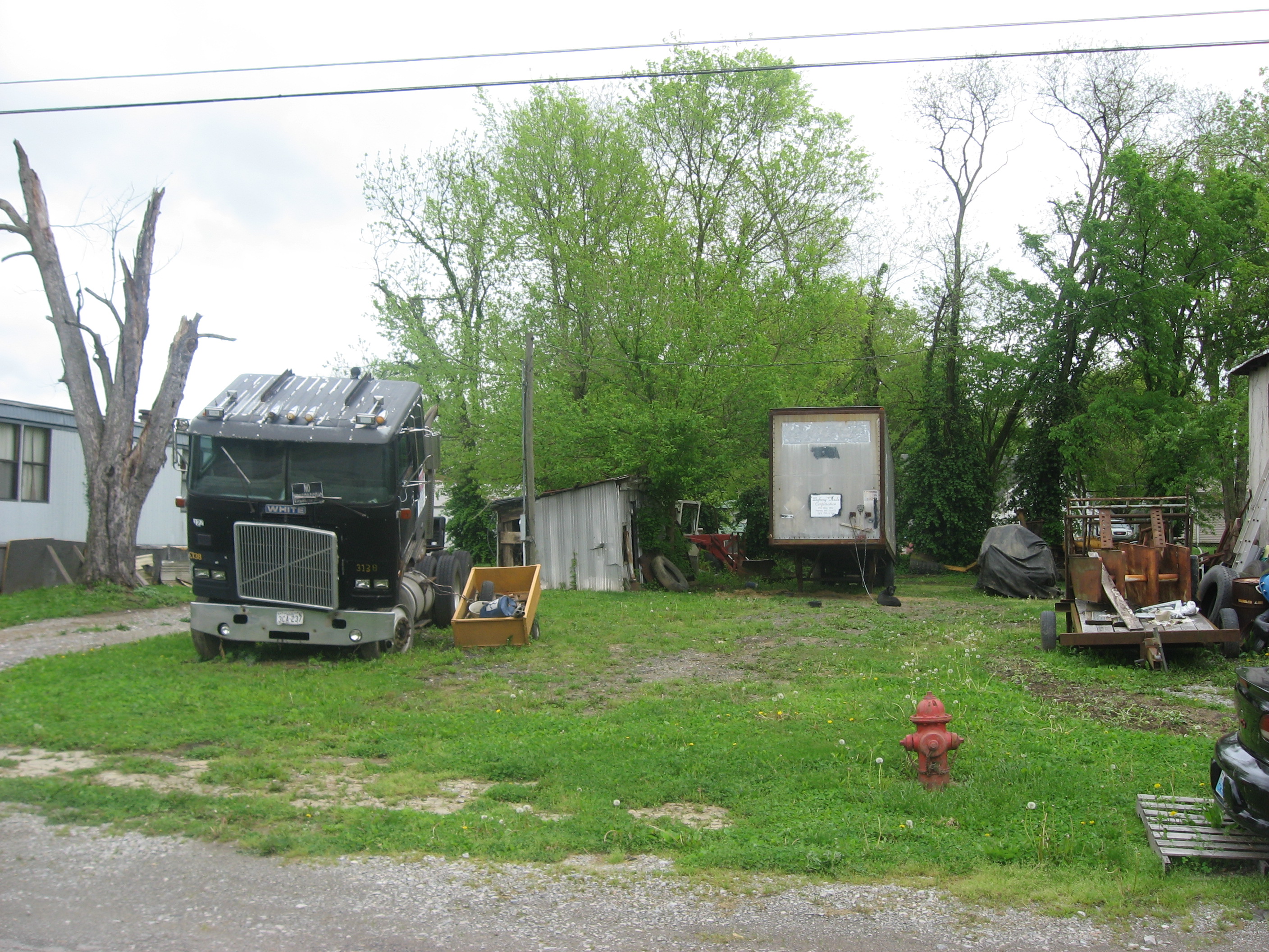
English: Junk on the site of Charity's House, which was formerly located at 108 Montjoy Street in Falmouth, Kentucky, United States. The house was listed on the National Register of Historic Places in 1983 and has not yet been removed. |
||
| Date | Taken on 6 May 2013 | ||
| Source | Own work | ||
| Author | Nyttend | ||
| Permission (Reusing this file) |
|
File history
Click on a date/time to view the file as it appeared at that time.
| Date/Time | Thumbnail | Dimensions | User | Comment | |
|---|---|---|---|---|---|
| current | 13:15, 17 May 2013 | | 2,816 × 2,112 (2.06 MB) | Nyttend (talk | contribs) | {{NRHP|83002848}} {{Location|38|40|46|N|84|19|56|W}} {{Information |Description={{en|Junk on the site of {{w|Charity's House}}, which was formerly located at 108 Montjoy Street in {{w|Falmouth, Kentucky|Falmouth}}, {{w|Kentucky}}, {{w|United States}}. ... |
You cannot overwrite this file.
File usage on Commons
There are no pages that use this file.
File usage on other wikis
The following other wikis use this file:
- Usage on en.wikipedia.org
- Usage on www.wikidata.org