File:Chimney Rock Farmhouse through tree.jpg
Jump to navigation
Jump to search

Size of this preview: 800 × 532 pixels. Other resolutions: 320 × 213 pixels | 640 × 426 pixels | 1,024 × 681 pixels | 1,280 × 851 pixels | 2,560 × 1,702 pixels | 6,016 × 4,000 pixels.
Original file (6,016 × 4,000 pixels, file size: 6.29 MB, MIME type: image/jpeg)
Captions
Captions
Add a one-line explanation of what this file represents
|
This is an image of a place or building that is listed on the National Register of Historic Places in the United States of America. Its reference number is 82004607. |
| Camera location | | View this and other nearby images on: OpenStreetMap |
|---|
| Description |
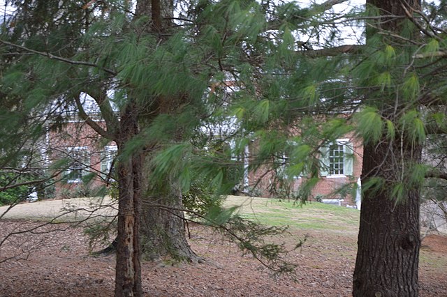
English: Through-the-trees view of the farmhouse at Chimney Rock Farm, located on State Route 91 below Frog Level in the Witten Valley of Tazewell County, Virginia, United States. Built in 1843, it is listed on the National Register of Historic Places. |
||
| Date | Taken on 11 February 2017 | ||
| Source | Own work | ||
| Author | Nyttend | ||
| Permission (Reusing this file) |
|
File history
Click on a date/time to view the file as it appeared at that time.
| Date/Time | Thumbnail | Dimensions | User | Comment | |
|---|---|---|---|---|---|
| current | 02:38, 22 February 2017 | | 6,016 × 4,000 (6.29 MB) | Nyttend (talk | contribs) | {{NRHP|82004607}} {{Location|37|4|39.5|N|81|36|31|W}} {{Information |Description={{en|Through-the-trees view of the farmhouse at {{w|Chimney Rock Farm}}, located on {{w|Virginia State Route 91|State Route 91}} below {{w|Frog Level, Tazewell County, Vir... |
You cannot overwrite this file.
File usage on Commons
There are no pages that use this file.
File usage on other wikis
The following other wikis use this file:
- Usage on en.wikipedia.org
- Usage on www.wikidata.org