File:Delaware Township cornfield.jpg
Jump to navigation
Jump to search

Size of this preview: 800 × 532 pixels. Other resolutions: 320 × 213 pixels | 640 × 426 pixels | 1,024 × 681 pixels | 1,280 × 851 pixels | 2,560 × 1,702 pixels | 6,016 × 4,000 pixels.
Original file (6,016 × 4,000 pixels, file size: 6.89 MB, MIME type: image/jpeg)
Captions
Captions
Add a one-line explanation of what this file represents
| Camera location | | View this and other nearby images on: OpenStreetMap |
|---|
| Description |
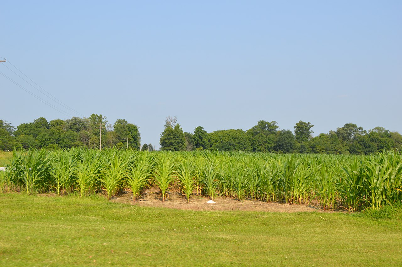
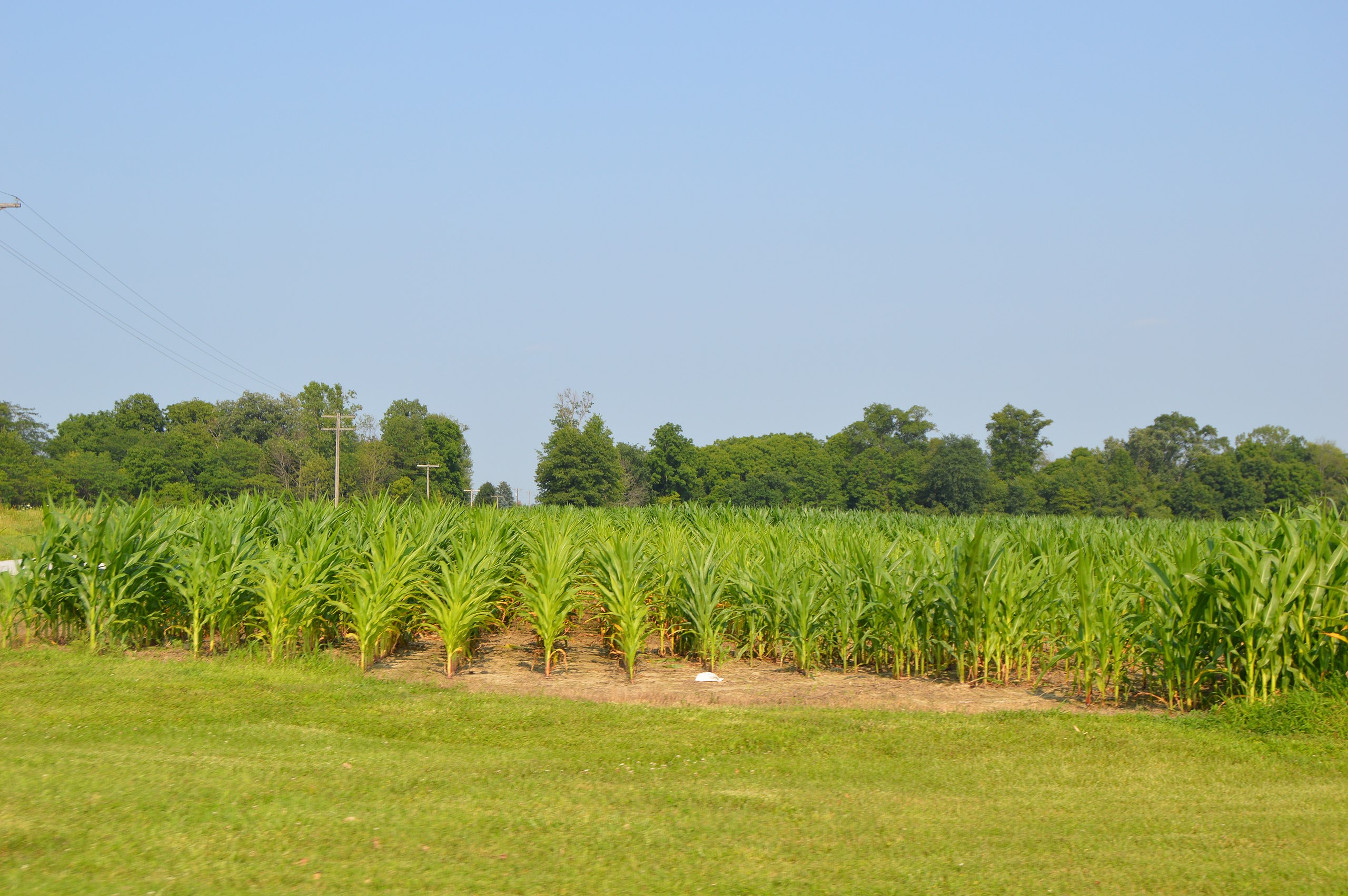
English: A good-quality cornfield on the southeastern corner of the junction of Township Roads 149 and 154 south of Mount Blanchard in Delaware Township, Hancock County, Ohio, United States. |
||
| Date | Taken on 6 July 2015 | ||
| Source | Own work | ||
| Author | Nyttend | ||
| Permission (Reusing this file) |
|
File history
Click on a date/time to view the file as it appeared at that time.
| Date/Time | Thumbnail | Dimensions | User | Comment | |
|---|---|---|---|---|---|
| current | 22:37, 7 July 2015 | | 6,016 × 4,000 (6.89 MB) | Nyttend (talk | contribs) | {{Location|40|51|16|N|83|32|10|W}} {{Information |description={{en|A good-quality cornfield on the southeastern corner of the junction of Township Roads 149 and 154 south of {{w|Mount Blanchard, Ohio|Mount Blanchard}} in {{w|Delaware Township, Hancock... |
You cannot overwrite this file.
File usage on Commons
There are no pages that use this file.