File:Elizabeth II postbox on Ings Lane, Dunswell (geograph 6084270).jpg
Jump to navigation
Jump to search

Size of this preview: 800 × 570 pixels. Other resolutions: 320 × 228 pixels | 640 × 456 pixels | 1,024 × 729 pixels | 1,280 × 912 pixels | 2,560 × 1,823 pixels | 4,693 × 3,342 pixels.
Original file (4,693 × 3,342 pixels, file size: 4.88 MB, MIME type: image/jpeg)
Captions
Captions
Add a one-line explanation of what this file represents
Summary[edit]
.jpg&action=edit§ion=1)
| Description |
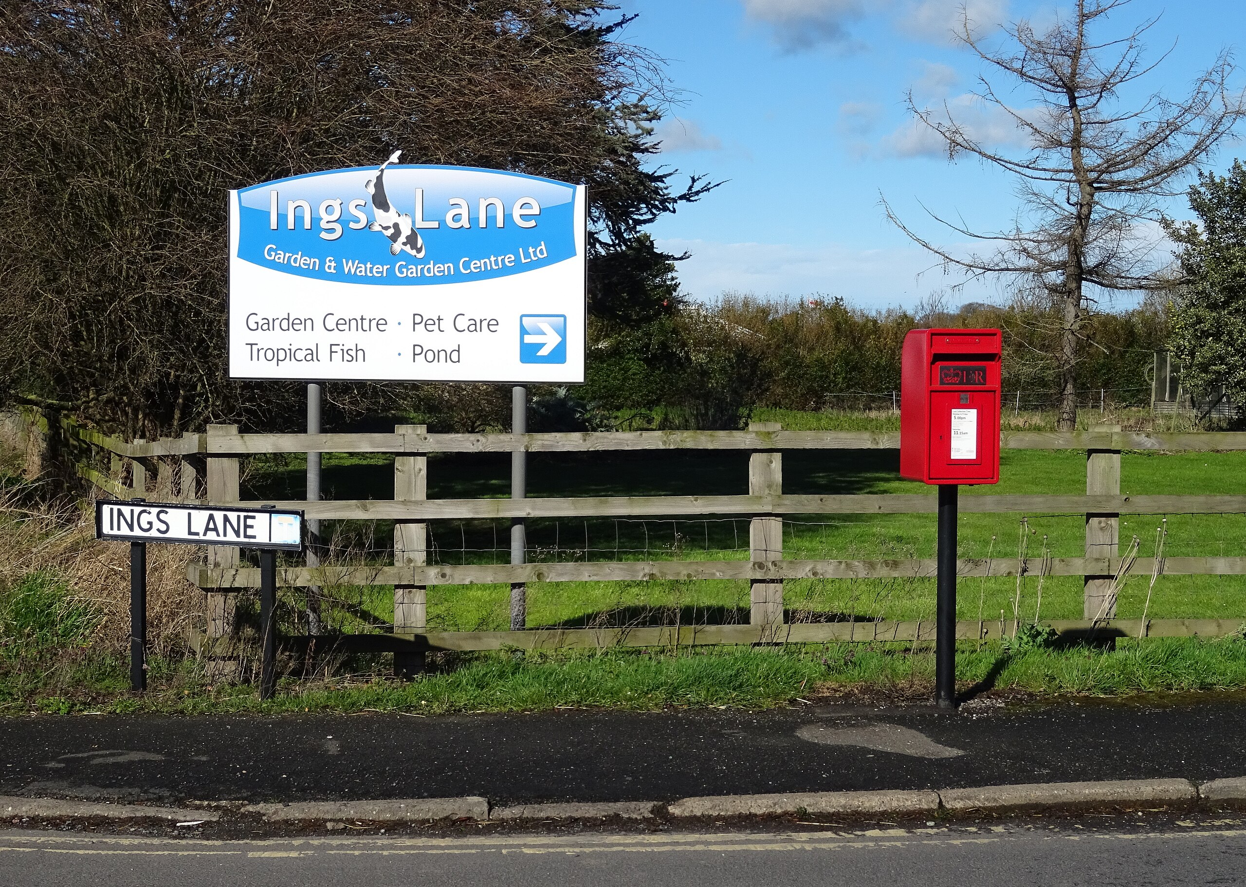
English: Elizabeth II postbox on Ings Lane, Dunswell, East Riding of Yorkshire, England. Postbox No. HU6 1. See TA0735 : Close up, Ings Lane, Dunswell for close up. See TA0735 : Houses on Beverley Road, Dunswell, TA0735 : House on Ings Lane, Dunswell and TA0735 : Ings Lane, Dunswell for context. |
| Date | |
| Source | From geograph.org.uk |
| Author | JThomas |
| Permission (Reusing this file) |
Creative Commons Attribution Share-alike license 2.0 |
| Attribution (required by the license) | JThomas / Elizabeth II postbox on Ings Lane, Dunswell / |
.jpg)
.jpg)
.jpg)
.jpg)
| Camera location | | View this and other nearby images on: OpenStreetMap |
|---|
.jpg¶ms=053.802663_N_-000.371622_E_globe:Earth_type:camera_source:geograph-osgb36(TA07343527)_&language=en)
| Object location | | View this and other nearby images on: OpenStreetMap |
|---|
.jpg¶ms=053.802740_N_-000.371630_E_globe:Earth_class:object_type:object_source:geograph-osgb36(TA0733935279)_&language=en)
Licensing[edit]
.jpg&action=edit§ion=2)

|
This image was taken from the Geograph project collection. See this photograph's page on the Geograph website for the photographer's contact details. The copyright on this image is owned by JThomas and is licensed for reuse under the Creative Commons Attribution-ShareAlike 2.0 license.
|
This file is licensed under the Creative Commons Attribution-Share Alike 2.0 Generic license.
Attribution: JThomas
- You are free:
- to share – to copy, distribute and transmit the work
- to remix – to adapt the work
- Under the following conditions:
- attribution – You must give appropriate credit, provide a link to the license, and indicate if changes were made. You may do so in any reasonable manner, but not in any way that suggests the licensor endorses you or your use.
- share alike – If you remix, transform, or build upon the material, you must distribute your contributions under the same or compatible license as the original.
File history
Click on a date/time to view the file as it appeared at that time.
| Date/Time | Thumbnail | Dimensions | User | Comment | |
|---|---|---|---|---|---|
| current | 10:47, 17 July 2020 | | 4,693 × 3,342 (4.88 MB) | Keith D (talk | contribs) | Transferred from geograph.co.uk using [https://tools.wmflabs.org/geograph2commons/ geograph2commons] |
You cannot overwrite this file.
File usage on Commons
The following page uses this file:
Metadata
.jpg&oldid=716108317)
Categories:
- Dunswell, East Riding of Yorkshire
- Red post boxes in the East Riding of Yorkshire
- Pole mounted post boxes in the East Riding of Yorkshire
- Post boxes in HU postcode area
- Fences in the East Riding of Yorkshire
- Signs in the East Riding of Yorkshire
- Street signs in the East Riding of Yorkshire
- Hedges in the East Riding of Yorkshire
- Trees in the East Riding of Yorkshire
- March 2019 in the East Riding of Yorkshire