File:Forst - Schilder Radweg.jpg
Jump to navigation
Jump to search
Size of this preview: 800 × 555 pixels. Other resolutions: 320 × 222 pixels | 640 × 444 pixels | 1,024 × 711 pixels | 1,200 × 833 pixels.
Original file (1,200 × 833 pixels, file size: 226 KB, MIME type: image/jpeg)
Captions
Captions
Add a one-line explanation of what this file represents
Summary[edit]
| Description |
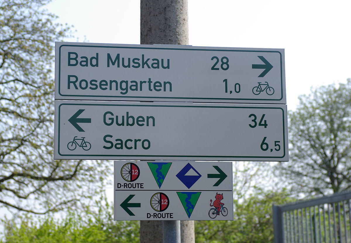
Deutsch: Radwegeschilder an der Neiße in Forst (Lausitz), Brandenburg, Deutschland
English: Signs for the cycle paths at the river of Neiße in Forst (Lausitz), Brandenburg, Germany |
|||||||||||||||||
| Date | ||||||||||||||||||
| Source |
Own work - My images are also available on MyPortfolio |
|||||||||||||||||
| Author |
|
|||||||||||||||||

| Camera Model | Pentax K10D |
|---|
| Camera location | | View this and other nearby images on: OpenStreetMap |
|---|
Licensing[edit]
Stefan Fussan, the copyright holder of this work, hereby publishes it under the following license:
This file is licensed under the Creative Commons Attribution-Share Alike 3.0 Unported, 2.5 Generic, 2.0 Generic and 1.0 Generic license.
Attribution: Stefan Fussan
- You are free:
- to share – to copy, distribute and transmit the work
- to remix – to adapt the work
- Under the following conditions:
- attribution – You must give appropriate credit, provide a link to the license, and indicate if changes were made. You may do so in any reasonable manner, but not in any way that suggests the licensor endorses you or your use.
- share alike – If you remix, transform, or build upon the material, you must distribute your contributions under the same or compatible license as the original.
If you want to upload a new revision of this file, please use the possibility to upload a new version under a new name. Please don't forget to tag it as a derivate or extract.
I. Licence
The author of this picture, Stefan Fussan, published this file under the Creative Commons Licence Attribution-ShareAlike 4.0 including all prior versions(other licences and more on this below). The image can
- Freely use and distribute it for non-commercial or for commercial purposes
- Create derivative works of it
It is also necessary to provide a copy of the license or at least its full Internet address (https://creativecommons.org/licenses/by-sa/4.0/legalcode). When used in online media in addition to the a forementioned copyright and license specifying a reference (link) to the original image - so this page with descriptions and license conditions - would be nice. See also: re-use. From printed materials and other tangible products that use that work, the user is asked to send a copy to the author. The mailing address can be requested via the contact options.
For all further usages (Print, Collagen ...) click on the following button. You will get all necessary information.
Furthermore, if you
- want to use this work under other conditions,
- want me to rework this file out of the original RAW file, or get the RAW file, or
- search for a similar picture,
In the case of a breach of the license conditions, the rights granted hereunder will expire automatically. The author reserves the right in this case to assert injunctive relief and damages.
II. Disclaimer
It is possible that third parties are to be considered for example in case of trademark, design or personality rights. You are responsible to check and respect these rights in the publication in the respective medium or country. Please note the General disclaimer.
III. Contact
 |
Do not upload new revisions over my file without my explicit permission. Please upload it under a new file name and mark it as a derivate or extract. You can use the template {{Derived from|My file name.jpg}} or {{Extracted from|My file name.jpg}}. |
Original upload log[edit]
| This file was imported from Wikivoyage Shared. |
The original description page was here. All following user names refer to wikivoyage-old/shared.
- 2010-04-25 10:24 DerFussi archive copy at the Wayback Machine 1200×833 (231451 bytes) {{Information |Description= {{en|Signs for the cycle paths at the river of Neiße in Forst (Lausitz), Brandenburg, Germany}} {{de|Radwegeschilder an der Neiße in Forst (Lausitz), Brandenburg, Deutschland}} |Author=[[User:DerFussi|stefan Fussan]] |Date=19. April 2010 |Source={{own}} |Permission= |other_versions= }} {{Location|51.73930000|14.65660000}} [[Category:Forst (Lausitz)]] [[Category:Fürst-Pückler-Weg]] [[Category:Oder-Neiße-Radweg]] [[Category:Niederlausitzer Bergbautour]] [[Category:Images by DerFussi]]
File history
Click on a date/time to view the file as it appeared at that time.
| Date/Time | Thumbnail | Dimensions | User | Comment | |
|---|---|---|---|---|---|
| current | 22:37, 13 November 2012 | | 1,200 × 833 (226 KB) | MGA73bot2 (talk | contribs) | {{BotMoveToCommons|shared.oldwikivoyage|year={{subst:CURRENTYEAR}}|month={{subst:CURRENTMONTHNAME}}|day={{subst:CURRENTDAY}}}} == {{int:filedesc}} == {{Information |description={{en|Signs for the cycle paths at the river of Neiße in Forst (Lausitz), B... |
You cannot overwrite this file.
File usage on Commons
The following page uses this file:
File usage on other wikis
The following other wikis use this file:
- Usage on pl.wikipedia.org