File:Fuxin 121.67134E 41.99069N.jpg
Jump to navigation
Jump to search
Size of this preview: 800 × 599 pixels. Other resolutions: 320 × 240 pixels | 640 × 479 pixels | 1,024 × 766 pixels | 1,280 × 958 pixels.
Original file (1,280 × 958 pixels, file size: 273 KB, MIME type: image/jpeg)
Captions
Captions
Add a one-line explanation of what this file represents
| Description |
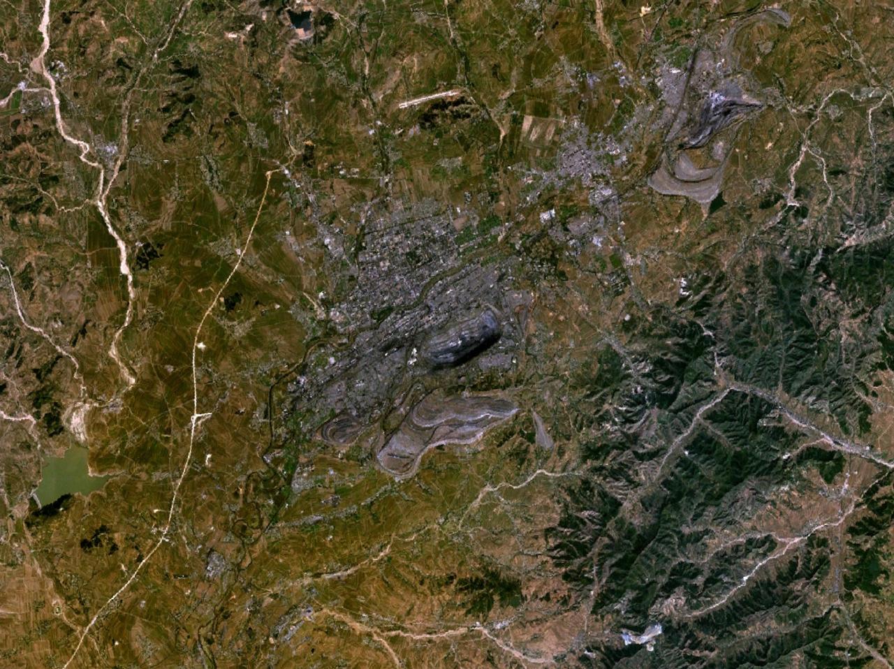
English: Satellite picture of Fuxin — a city of northwest Liaoning Province, in northeastern China.
Nederlands: Fuxin, China |
| Source | Worldwind |
| Author | Photograph: NASA |
| Permission (Reusing this file) |
PD |
| This image is in the public domain because it is a screenshot from NASA’s globe software World Wind using a public domain layer, such as Blue Marble, MODIS, Landsat, SRTM, USGS or GLOBE.
|
 |
File history
Click on a date/time to view the file as it appeared at that time.
| Date/Time | Thumbnail | Dimensions | User | Comment | |
|---|---|---|---|---|---|
| current | 19:02, 17 July 2005 | | 1,280 × 958 (273 KB) | Rex (talk | contribs) | Fuxin, China {{World Wind}} |
You cannot overwrite this file.
File usage on Commons
There are no pages that use this file.
File usage on other wikis
The following other wikis use this file: