File:Grand Island (California).png
Jump to navigation
Jump to search

Size of this preview: 539 × 600 pixels. Other resolutions: 216 × 240 pixels | 431 × 480 pixels | 683 × 760 pixels.
Original file (683 × 760 pixels, file size: 928 KB, MIME type: image/png)
Captions
Captions
Add a one-line explanation of what this file represents
Summary[edit]
.png&action=edit§ion=1)
| Description |
English: |
|||
| Date | ||||
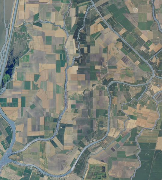
| Source | NASA tool at worldwind.earth, USGS Topo Imagery map layer | |||
| Author | USGS aerial imagery | |||
| Permission (Reusing this file) |
|
File history
Click on a date/time to view the file as it appeared at that time.
| Date/Time | Thumbnail | Dimensions | User | Comment | |
|---|---|---|---|---|---|
| current | 02:21, 18 September 2020 | | 683 × 760 (928 KB) | JPxG (talk | contribs) | {{Information |description ={{en|1=Category:Sacramento RiverCategory:San Joaquin RiverCategory:Islands of California}} |date =2020-09-16 |source =NASA tool at worldwind.earth, USGS Topo Imagery map layer |author =USGS aerial imagery |permission ={{PD-USGov-USGS}} }} |
You cannot overwrite this file.
File usage on Commons
There are no pages that use this file.
File usage on other wikis
The following other wikis use this file:
- Usage on ceb.wikipedia.org
- Usage on en.wikipedia.org
- Usage on www.wikidata.org
.png&oldid=463302633)