File:Heimplatz OSM Map.png
Jump to navigation
Jump to search
Size of this preview: 707 × 599 pixels. Other resolutions: 283 × 240 pixels | 566 × 480 pixels | 1,004 × 851 pixels.
Original file (1,004 × 851 pixels, file size: 1.48 MB, MIME type: image/png)
Captions
Captions
Add a one-line explanation of what this file represents
Summary[edit]
| Description |
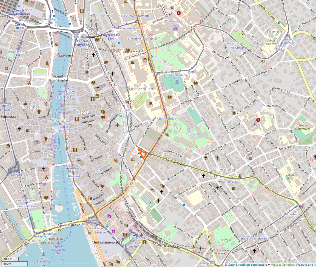
Deutsch: Lage des Heimplatzes in Zürich auf der OSM-Karte |
| Date | |
| Source | OpenStreetMap |
| Creator |
OpenStreetMap contributors |
| Permission (Reusing this file) |
This file is licensed under the Creative Commons Attribution-Share Alike 2.0 Generic license. Attribution: © OpenStreetMap contributors
|
| Georeferencing | If inappropriate please set warp_status = skip to hide. |
File history
Click on a date/time to view the file as it appeared at that time.
| Date/Time | Thumbnail | Dimensions | User | Comment | |
|---|---|---|---|---|---|
| current | 16:38, 28 December 2019 | | 1,004 × 851 (1.48 MB) | Pechristener (talk | contribs) | {{Map |description={{de|Lage des Heimplatzes in Zürich auf der OSM-Karte}} |date=2019-12-28 |source=[https://www.openstreetmap.org/way/150515027#map=16/47.3716/8.5504 OpenStreetMap] |author=OpenStreetMap contributors |permission={{Cc-by-sa-2.0|© OpenStreetMap contributors}} |other versions= }} Category:Heimplatz (Zürich) |
You cannot overwrite this file.
File usage on Commons
There are no pages that use this file.