File:Hwy 60 Algonquin Park.png
Hwy_60_Algonquin_Park.png (696 × 423 pixels, file size: 864 KB, MIME type: image/png)
Captions
Captions
Summary[edit]
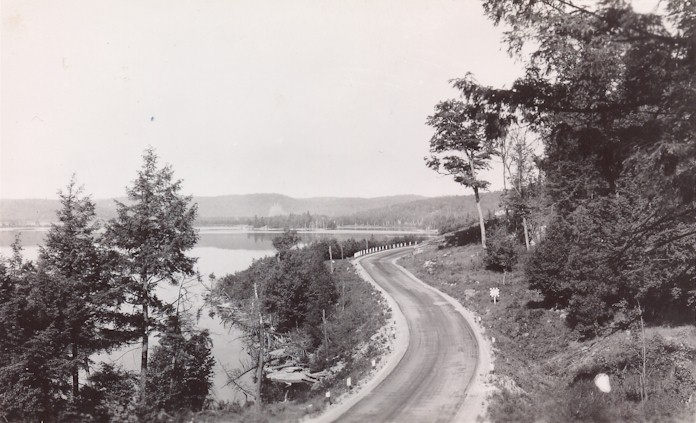
| Description | Highway 60 in Algonquin Park, possibly Cache Lake or Lake of Two Rivers | |||
| Date | circa 1950 | |||
| Source | [1] | |||
| Author | Ontario Department of Highways | |||
| Permission (Reusing this file) |
|

File history
Click on a date/time to view the file as it appeared at that time.
| Date/Time | Thumbnail | Dimensions | User | Comment | |
|---|---|---|---|---|---|
| current | 17:31, 28 February 2011 | | 696 × 423 (864 KB) | Floydian (talk | contribs) | {{Information |Description=Highway 60 in Algonquin Park, possibly Cache Lake or Lake of Two Rivers |Source=[http://www.thekingshighway.ca/PHOTOS/Hwy60photos.htm] |Date=c. 1950 |Author=Ontario Department of Highways<!-- Not a postcard as described by Mr. B |
You cannot overwrite this file.
File usage on Commons
The following page uses this file:
File usage on other wikis
The following other wikis use this file:
- Usage on en.wikipedia.org