File:IK Orte.PNG
Jump to navigation
Jump to search
Size of this preview: 484 × 599 pixels. Other resolutions: 194 × 240 pixels | 388 × 480 pixels | 621 × 768 pixels | 828 × 1,024 pixels | 1,298 × 1,606 pixels.
Original file (1,298 × 1,606 pixels, file size: 45 KB, MIME type: image/png)
Captions
Captions
Add a one-line explanation of what this file represents
Summary[edit]
| Description |
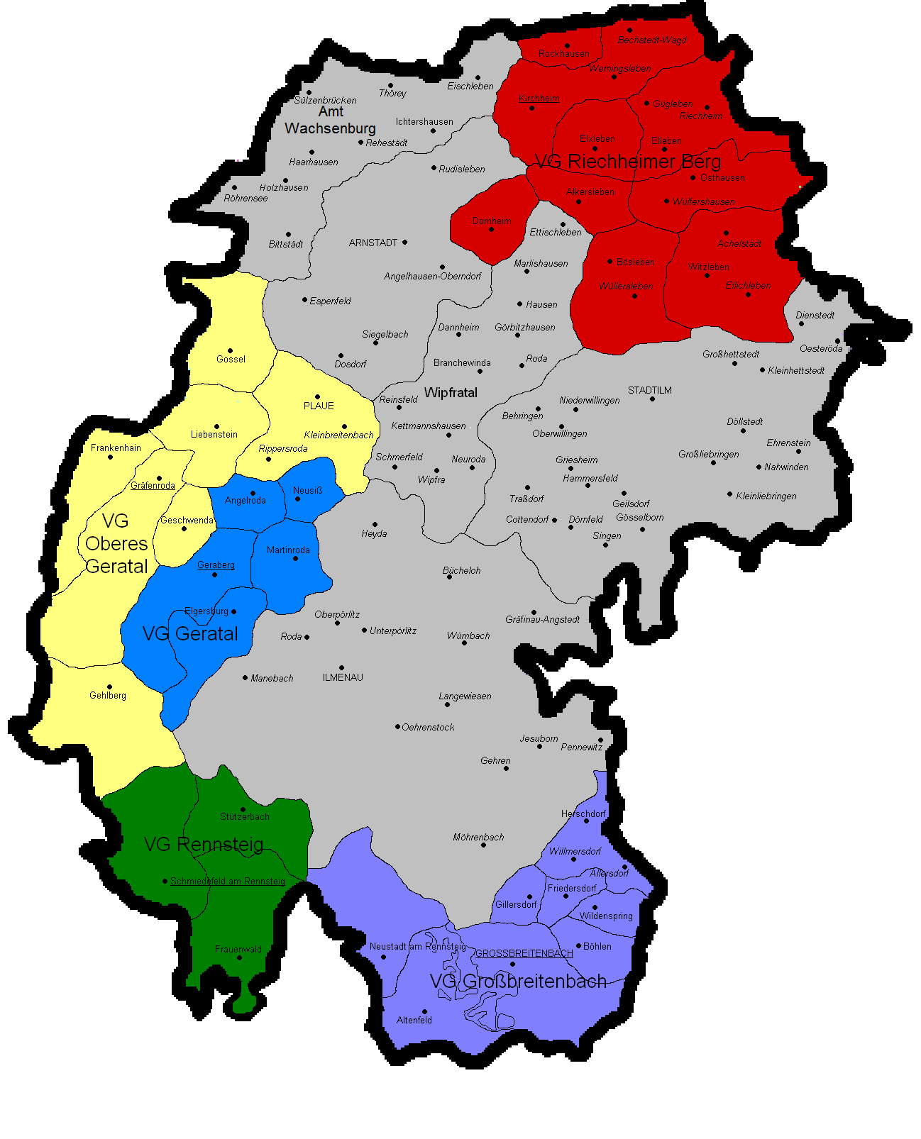
Deutsch: Gemeindekarte Ilm-Kreis mit Verwaltungsgemeinschaften und Ortsteilen. |
| Source | Own work (Original text: selbst gezeichnet.) |
| Author | Michael Sander |
Licensing[edit]

|
Permission is granted to copy, distribute and/or modify this document under the terms of the GNU Free Documentation License, Version 1.2 or any later version published by the Free Software Foundation; with no Invariant Sections, no Front-Cover Texts, and no Back-Cover Texts. A copy of the license is included in the section entitled GNU Free Documentation License. |
| This file is licensed under the Creative Commons Attribution-Share Alike 3.0 Unported license. | ||
| ||
| This licensing tag was added to this file as part of the GFDL licensing update. |
File history
Click on a date/time to view the file as it appeared at that time.
| Date/Time | Thumbnail | Dimensions | User | Comment | |
|---|---|---|---|---|---|
| current | 18:00, 8 July 2018 | | 1,298 × 1,606 (45 KB) | NordNordWest (talk | contribs) | upd |
| 22:06, 20 February 2015 |  | 1,298 × 1,606 (48 KB) | NordNordWest (talk | contribs) | c | |
| 17:12, 5 January 2014 |  | 1,298 × 1,606 (48 KB) | NordNordWest (talk | contribs) | upd | |
| 06:56, 9 September 2013 |  | 1,298 × 1,606 (135 KB) | Michael Sander (talk | contribs) | Amt Wachsenburg neu | |
| 18:55, 23 April 2006 |  | 1,298 × 1,606 (124 KB) | Michael Sander (talk | contribs) | Gemeindekarte Ilm-Kreis mit Verwaltungsgemeinschaften und ''Ortsteilen''. Quelle: selbst gezeichnet. |
You cannot overwrite this file.
File usage on Commons
The following 3 pages use this file:
File usage on other wikis
The following other wikis use this file:
- Usage on en.wikipedia.org
- Usage on es.wikipedia.org
- Usage on fa.wikipedia.org
- Usage on fr.wikipedia.org
- Usage on ms.wikipedia.org
- Usage on simple.wikipedia.org
- Usage on uk.wikipedia.org
- Usage on vi.wikipedia.org