File:Karte - Herzogtum Nassau - 47. Eltville - 1819 (cropped, Eiserne Hand).jpg

Original file (1,817 × 1,416 pixels, file size: 1.62 MB, MIME type: image/jpeg)
Captions
Captions
Summary[edit]
| Description |
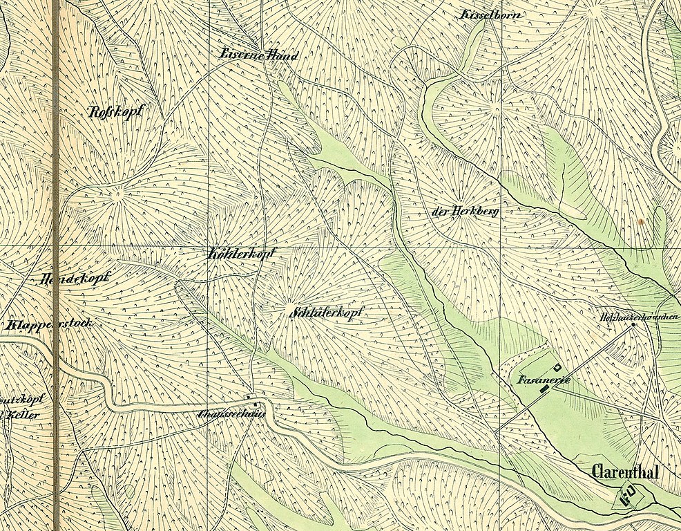
English: map of Duchy of Nassau |
| Date | |
| Source |
Karte „Herzogtum Nassau 1819 – 47. Eltville“, in: Historische Kartenwerke, Landesgeschichtliches Informationssystem Hessen. https://www.lagis-hessen.de/de/subjects/idrec/sn/hkw/id/47 Karte vom Herzogthum Nassau : von den im Jahr 1819 geschehenen Aufnahmen längs der Preussischen und Hessischen Gränzen etc. ; orientirt nach Parallelen vom Meridian und Perpendikel von Paris, [o.O.] 1819 / 47: Eltville [1 : 20000] |
| Author | Unknown author |
| Other versions |

.jpg&action=edit§ion=1)
Licensing[edit]
.jpg&action=edit§ion=2)
|
This work is in the public domain in its country of origin and other countries and areas where the copyright term is the author's life plus 70 years or fewer. This work is in the public domain in the United States because it was published (or registered with the U.S. Copyright Office) before January 1, 1929. | |
| This file has been identified as being free of known restrictions under copyright law, including all related and neighboring rights. | |
File history
Click on a date/time to view the file as it appeared at that time.
| Date/Time | Thumbnail | Dimensions | User | Comment | |
|---|---|---|---|---|---|
| current | 17:27, 10 February 2021 | | 1,817 × 1,416 (1.62 MB) | Waldfrieda (talk | contribs) | File:Karte - Herzogtum Nassau - 47. Eltville - 1819.jpg cropped 54 % horizontally, 75 % vertically using CropTool with lossless mode. |
You cannot overwrite this file.
File usage on Commons
The following 2 pages use this file:
File usage on other wikis
The following other wikis use this file:
- Usage on de.wikipedia.org
.jpg&oldid=531906097)