File:Karte Nationalpark Harz.png
Jump to navigation
Jump to search
Size of this preview: 450 × 600 pixels. Other resolutions: 180 × 240 pixels | 360 × 480 pixels | 750 × 1,000 pixels.
Original file (750 × 1,000 pixels, file size: 201 KB, MIME type: image/png)
Captions
Captions
Add a one-line explanation of what this file represents
Summary[edit]

|
This biogeographical map image could be re-created using vector graphics as an SVG file. This has several advantages; see Commons:Media for cleanup for more information. If an SVG form of this image is available, please upload it and afterwards replace this template with
{{vector version available|new image name}}.
It is recommended to name the SVG file “Karte Nationalpark Harz.svg”—then the template Vector version available (or Vva) does not need the new image name parameter. |
| Description | |
| Date | |
| Source |
Own work, used: |
| Author | Lencer |

|
This map has been made or improved in the German Kartenwerkstatt (Map Lab). You can propose maps to improve as well.
|
Licensing[edit]
This file is licensed under the Creative Commons Attribution-Share Alike 3.0 Unported license.
- You are free:
- to share – to copy, distribute and transmit the work
- to remix – to adapt the work
- Under the following conditions:
- attribution – You must give appropriate credit, provide a link to the license, and indicate if changes were made. You may do so in any reasonable manner, but not in any way that suggests the licensor endorses you or your use.
- share alike – If you remix, transform, or build upon the material, you must distribute your contributions under the same or compatible license as the original.
File history
Click on a date/time to view the file as it appeared at that time.
| Date/Time | Thumbnail | Dimensions | User | Comment | |
|---|---|---|---|---|---|
| current | 21:42, 31 May 2015 | | 750 × 1,000 (201 KB) | Cmdrjameson (talk | contribs) | Compressed with pngout. Reduced by 67kB (25% decrease). |
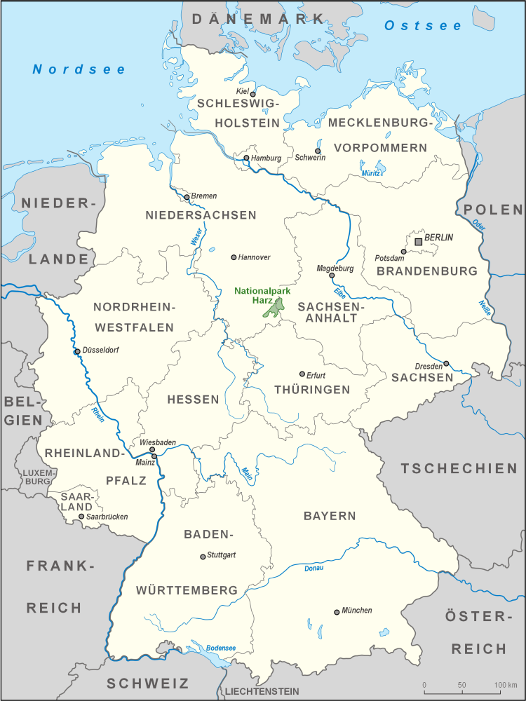
| 20:31, 15 March 2008 |  | 750 × 1,000 (269 KB) | Lencer (talk | contribs) | {{Information |Description= Karte des Nationalparks Harz in Deutschland |Source="own work", used: * Image:Karte Nationalparks Deutschland high.png by Lencer * [[:de:Generic Mapping Tools |
You cannot overwrite this file.
File usage on Commons
The following page uses this file:
File usage on other wikis
The following other wikis use this file:
- Usage on ar.wikipedia.org
- Usage on bg.wikipedia.org
- Usage on da.wikipedia.org
- Usage on de.wikipedia.org
- Usage on en.wikipedia.org
- Usage on eo.wikipedia.org
- Usage on ka.wikipedia.org
- Usage on sv.wikipedia.org
- Usage on www.wikidata.org