File:Kawai in Iwate Prefecture Ja.svg

Original file (SVG file, nominally 600 × 970 pixels, file size: 38 KB)
Captions
Captions
Summary[edit]
| Description |
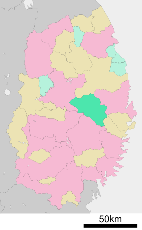
English: Location of Kawai in Iwate Prefecture
日本語: 岩手県下閉伊郡川井村の位置 |
||
| Date | (UTC) | ||
| Source | ja:File:基礎自治体位置図 03487.svg | ||
| Author | ja:User:Lincun | ||
| Permission (Reusing this file) |
|
Licensing[edit]

|
Permission is granted to copy, distribute and/or modify this document under the terms of the GNU Free Documentation License, Version 1.2 or any later version published by the Free Software Foundation; with no Invariant Sections, no Front-Cover Texts, and no Back-Cover Texts. A copy of the license is included in the section entitled GNU Free Documentation License. |
- You are free:
- to share – to copy, distribute and transmit the work
- to remix – to adapt the work
- Under the following conditions:
- attribution – You must give appropriate credit, provide a link to the license, and indicate if changes were made. You may do so in any reasonable manner, but not in any way that suggests the licensor endorses you or your use.
- share alike – If you remix, transform, or build upon the material, you must distribute your contributions under the same or compatible license as the original.
Original upload log[edit]
| This file was moved from Japanese Wikipedia.
See below for original file information. | ||||||||||||||||||||||||||||||||||||||||||||
| ||||||||||||||||||||||||||||||||||||||||||||
|
| ||||||||||||||||||||||||||||||||||||||||||||
File history
Click on a date/time to view the file as it appeared at that time.
| Date/Time | Thumbnail | Dimensions | User | Comment | |
|---|---|---|---|---|---|
| current | 07:05, 3 July 2021 | | 600 × 970 (38 KB) | みちまん (talk | contribs) | Color coding by municipality, 1:500,000 scale. |
| 03:48, 5 December 2009 |  | 500 × 812 (16 KB) | Monaneko (talk | contribs) | {{Information |Description={{en|1=Location of Kawai in Iwate Prefecture}} {{ja|1=岩手県下閉伊郡川井村の位置}} |Source=ja:File:基礎自治体位置図 03487.svg |Author=ja:User:Lincun |Date=2007-09-22 00:37 (UTC) |Permission= |other |
You cannot overwrite this file.
File usage on Commons
The following 2 pages use this file:
- Maps of Iwate prefecture
- File:基礎自治体位置図 03487.svg (file redirect)
File usage on other wikis
The following other wikis use this file:
- Usage on de.wikipedia.org
- Usage on ja.wikipedia.org
- Usage on ko.wikipedia.org