File:Kilmahog geograph-3491745-by-Ben-Brooksbank.jpg
Jump to navigation
Jump to search
Size of this preview: 800 × 498 pixels. Other resolutions: 320 × 199 pixels | 640 × 398 pixels | 1,024 × 637 pixels | 1,280 × 796 pixels | 2,308 × 1,436 pixels.
Original file (2,308 × 1,436 pixels, file size: 1.96 MB, MIME type: image/jpeg)
Captions
Captions
Add a one-line explanation of what this file represents
Summary[edit]
| Description |
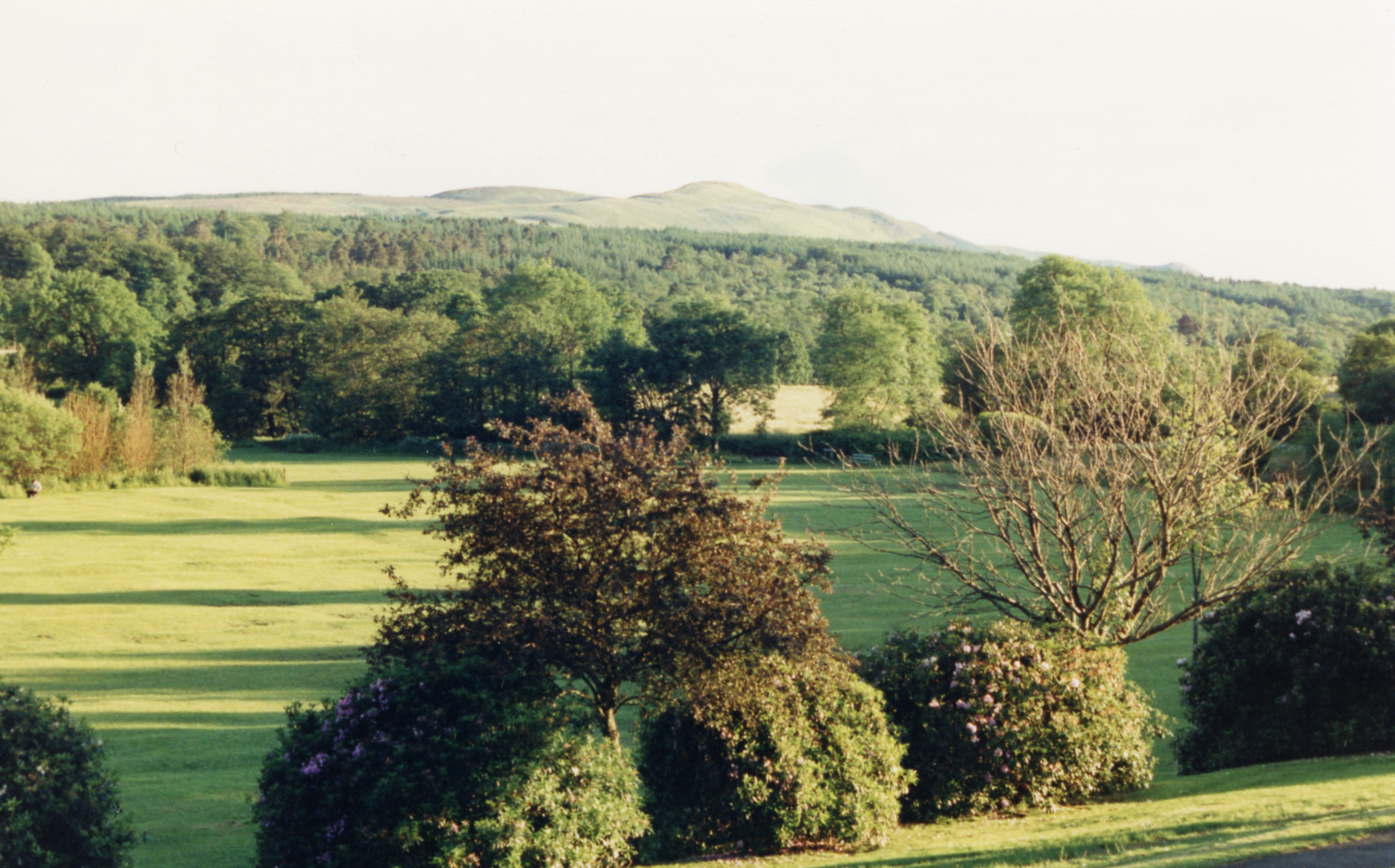
English: Across Teith Valley, a mile west of Callander 1986. View SSW, across river and course of former Caledonian (Callander & Oban) Railway (closed to Balquhidder and Crianlarich) since 28/9/65), to Beinn Dearg (1,402 ft.) in distance. |
| Date | |
| Source | From geograph.org.uk |
| Author | Ben Brooksbank |
| Permission (Reusing this file) |
Creative Commons Attribution Share-alike license 2.0 |
| Attribution (required by the license) | Ben Brooksbank / Across Teith Valley, a mile west of Callander 1986 / |
| Camera location | | View this and other nearby images on: OpenStreetMap |
|---|
Licensing[edit]

|
This image was taken from the Geograph project collection. See this photograph's page on the Geograph website for the photographer's contact details. The copyright on this image is owned by Ben Brooksbank and is licensed for reuse under the Creative Commons Attribution-ShareAlike 2.0 license.
|
This file is licensed under the Creative Commons Attribution-Share Alike 2.0 Generic license.
Attribution: Ben Brooksbank
- You are free:
- to share – to copy, distribute and transmit the work
- to remix – to adapt the work
- Under the following conditions:
- attribution – You must give appropriate credit, provide a link to the license, and indicate if changes were made. You may do so in any reasonable manner, but not in any way that suggests the licensor endorses you or your use.
- share alike – If you remix, transform, or build upon the material, you must distribute your contributions under the same or compatible license as the original.
File history
Click on a date/time to view the file as it appeared at that time.
| Date/Time | Thumbnail | Dimensions | User | Comment | |
|---|---|---|---|---|---|
| current | 06:46, 15 July 2013 | | 2,308 × 1,436 (1.96 MB) | Chevin (talk | contribs) | == {{int:filedesc}} == {{Information |Description={{en|1='''Across Teith Valley, a mile west of Callander 1986.'''<br/> View SSW, across river and course of former Caledonian (Callander & Oban) Railway (closed to Balquhidder and Crianlarich) since 28/9... |
You cannot overwrite this file.
File usage on Commons
There are no pages that use this file.