File:Kobe Portisland-Aerial photography 1976.jpg
Jump to navigation
Jump to search

Size of this preview: 600 × 600 pixels. Other resolutions: 240 × 240 pixels | 480 × 480 pixels | 768 × 768 pixels | 1,024 × 1,024 pixels | 2,500 × 2,500 pixels.
Original file (2,500 × 2,500 pixels, file size: 4.6 MB, MIME type: image/jpeg)
Captions
Captions
Add a one-line explanation of what this file represents
Summary
[edit]| Description |
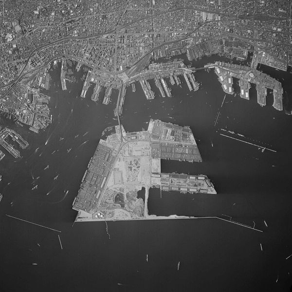
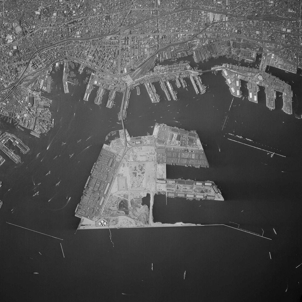
English: Kobe Portisland. 1976. 日本語: 神戸ポートアイランド。1976年。 |
| Date | |
| Source |
|
| Author |
日本語: 国土地理院、MihimaruVistaが加工。
English: Geospatial Information Authority of Japan, modified by MihimaruVista |
Licensing
[edit]
|
The copyright holder of this file, Ministry of Land, Infrastructure, Transport and Tourism, allows anyone to use it for any purpose, provided that the copyright holder is properly attributed. Redistribution, derivative work, commercial use, and all other use is permitted. |
Attribution:
National Land Image Information (Color Aerial Photographs), created by Ministry of Land, Infrastructure, Transport and Tourism, distributed by Geospatial Information Authority of Japan
|

File history
Click on a date/time to view the file as it appeared at that time.
| Date/Time | Thumbnail | Dimensions | User | Comment | |
|---|---|---|---|---|---|
| current | 06:45, 29 November 2015 | | 2,500 × 2,500 (4.6 MB) | Mihimaru Vista (talk | contribs) | {{Information |description={{en|1=Kobe Portisland. 1976.}}{{ja|1=神戸ポートアイランド。1976年。}} |date=1976-05-07 |source= *国土交通省「国土画像情報(カラー空中写真)」(配布元:国土地理院地図・空中写... |
You cannot overwrite this file.
File usage on Commons
The following page uses this file:
File usage on other wikis
The following other wikis use this file:
- Usage on ja.wikipedia.org