File:Kuji River upstream side from the bridge of Joban Expressway.jpg
Jump to navigation
Jump to search

Size of this preview: 800 × 438 pixels. Other resolutions: 320 × 175 pixels | 640 × 351 pixels | 1,024 × 561 pixels | 1,280 × 701 pixels | 2,278 × 1,248 pixels.
Original file (2,278 × 1,248 pixels, file size: 996 KB, MIME type: image/jpeg)
Captions
Captions
Add a one-line explanation of what this file represents
Summary[edit]
| Description |
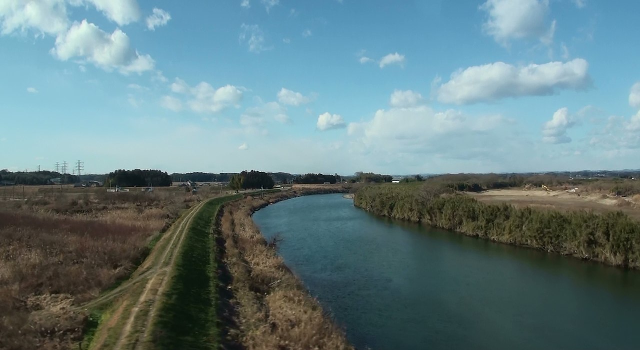
English: Kuji River upstream side from the bridge of Joban Expressway
日本語: 常磐道から撮影した久慈川(上流部) |
| Date | |
| Source | Own work |
| Author | Sakaori (talk) |
| Camera location | | View this and other nearby images on: OpenStreetMap |
|---|
Licensing[edit]
I, the copyright holder of this work, hereby publish it under the following licenses:

|
Permission is granted to copy, distribute and/or modify this document under the terms of the GNU Free Documentation License, Version 1.2 or any later version published by the Free Software Foundation; with no Invariant Sections, no Front-Cover Texts, and no Back-Cover Texts. A copy of the license is included in the section entitled GNU Free Documentation License. |
This file is licensed under the Creative Commons Attribution 3.0 Unported license.
- You are free:
- to share – to copy, distribute and transmit the work
- to remix – to adapt the work
- Under the following conditions:
- attribution – You must give appropriate credit, provide a link to the license, and indicate if changes were made. You may do so in any reasonable manner, but not in any way that suggests the licensor endorses you or your use.
You may select the license of your choice.
File history
Click on a date/time to view the file as it appeared at that time.
| Date/Time | Thumbnail | Dimensions | User | Comment | |
|---|---|---|---|---|---|
| current | 05:45, 8 January 2014 | | 2,278 × 1,248 (996 KB) | さかおり (talk | contribs) | {{Information |Description ={{en|1=Kuji River upstream side from the bridge of Joban Expressway}} {{ja|1=常磐道から撮影した久慈川(上流部)}} |Source =My self |Author =Sakaori ([[User talk:さ�... |
You cannot overwrite this file.
File usage on Commons
There are no pages that use this file.
File usage on other wikis
The following other wikis use this file:
- Usage on ja.wikipedia.org
- Usage on ru.wikipedia.org
- Usage on zh.wikipedia.org