File:Landkreise Vilsbiburg, Mühldorf, Erding und Wasserburg um 1960.jpg
Jump to navigation
Jump to search

Size of this preview: 564 × 599 pixels. Other resolutions: 226 × 240 pixels | 452 × 480 pixels | 723 × 768 pixels | 963 × 1,024 pixels | 1,927 × 2,048 pixels | 3,505 × 3,725 pixels.
Original file (3,505 × 3,725 pixels, file size: 3.3 MB, MIME type: image/jpeg)
Captions
Captions
Add a one-line explanation of what this file represents
Summary[edit]
| Description |
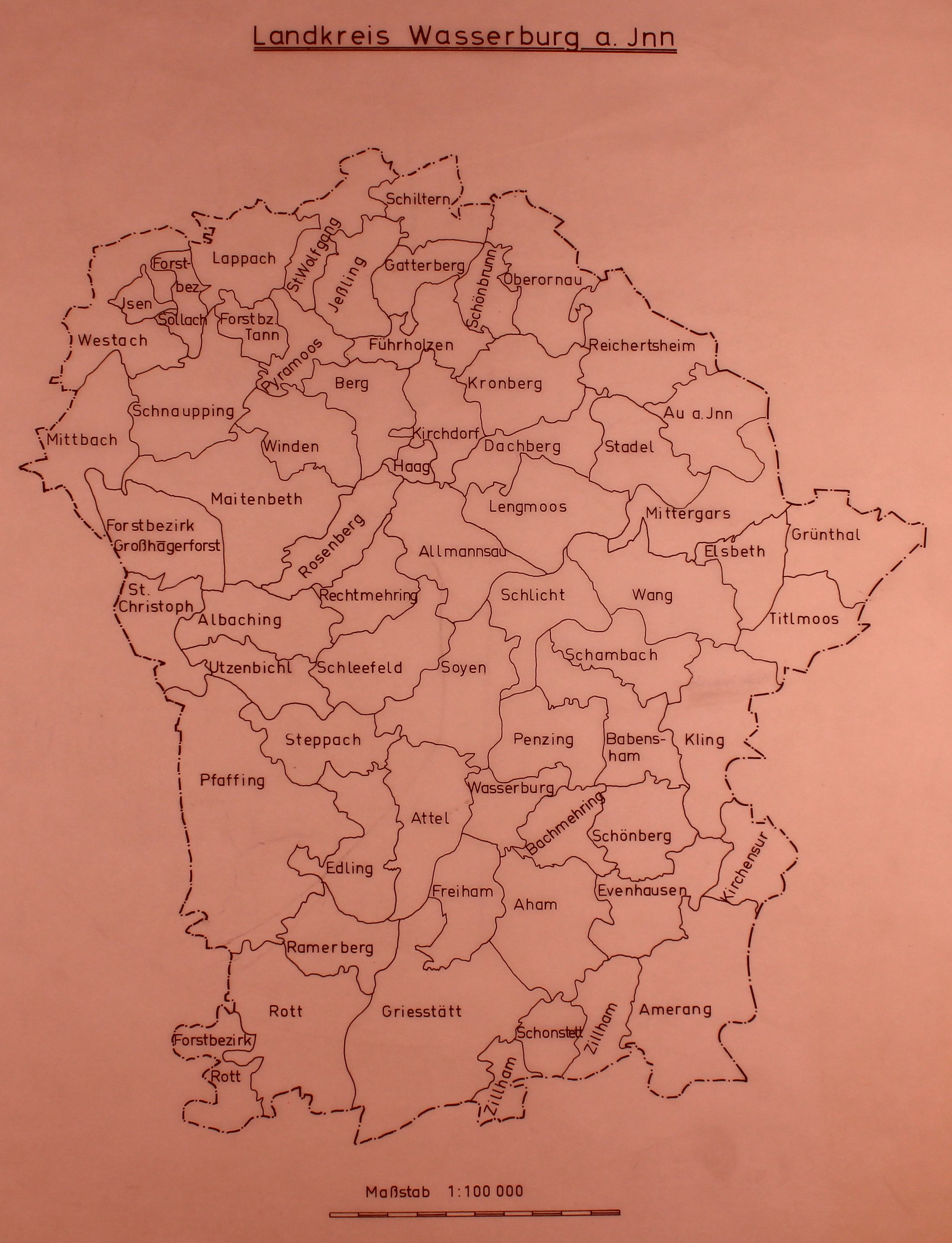
Deutsch: Landkreise Vilsbiburg, Mühldorf, Erding und Wasserburg um 1960 |
| Date | ca 1960 |
| Source |
|
| Author |
|
| Other versions |


| This is a retouched picture, which means that it has been digitally altered from its original version. Modifications: Retouched using GIMP 2.10. Modifications made by NearEMPTiness.
|
Licensing[edit]
This file is licensed under the Creative Commons Attribution 4.0 International license.
- You are free:
- to share – to copy, distribute and transmit the work
- to remix – to adapt the work
- Under the following conditions:
- attribution – You must give appropriate credit, provide a link to the license, and indicate if changes were made. You may do so in any reasonable manner, but not in any way that suggests the licensor endorses you or your use.
File history
Click on a date/time to view the file as it appeared at that time.
| Date/Time | Thumbnail | Dimensions | User | Comment | |
|---|---|---|---|---|---|
| current | 15:31, 9 September 2023 | | 3,505 × 3,725 (3.3 MB) | Ricardalovesmonuments (talk | contribs) | Gemeindegrenzen hervorgehoben |
| 14:38, 9 September 2023 |  | 3,505 × 3,725 (1.87 MB) | NearEMPTiness (talk | contribs) | Wasserburg added | |
| 14:37, 9 September 2023 |  | 3,532 × 3,042 (1.49 MB) | NearEMPTiness (talk | contribs) | Uploaded a work by * Bayerisches Statistisches Landesamt * User:Schlusszeichen * Stitched by NearEMPTiness from <gallery showfilename mode=packed heights=225> Landkreis Vilsbiburg Gemeindegrenzenkarte 1960-61.jpg|[https://www.statistischebibliothek.de/mir/servlets/solr/find?condQuery=gemeindegrenzkarten&version=4.5&start=0&fl=id&rows=1&origrows=1&XSL.Style=browse Originalbild] Landkreis Mühldorf Gemeindegrenzenkarte 1960-61.jpg|[https://www.statistischebibliothek.... |
You cannot overwrite this file.
File usage on Commons
The following page uses this file: