File:Lej da la Tscheppa from north 2.jpg
Jump to navigation
Jump to search
Size of this preview: 800 × 257 pixels. Other resolutions: 320 × 103 pixels | 640 × 206 pixels | 1,024 × 329 pixels | 1,280 × 411 pixels | 3,984 × 1,280 pixels.
Original file (3,984 × 1,280 pixels, file size: 2.61 MB, MIME type: image/jpeg)
Captions
Captions
Add a one-line explanation of what this file represents
Summary[edit]
| Description |
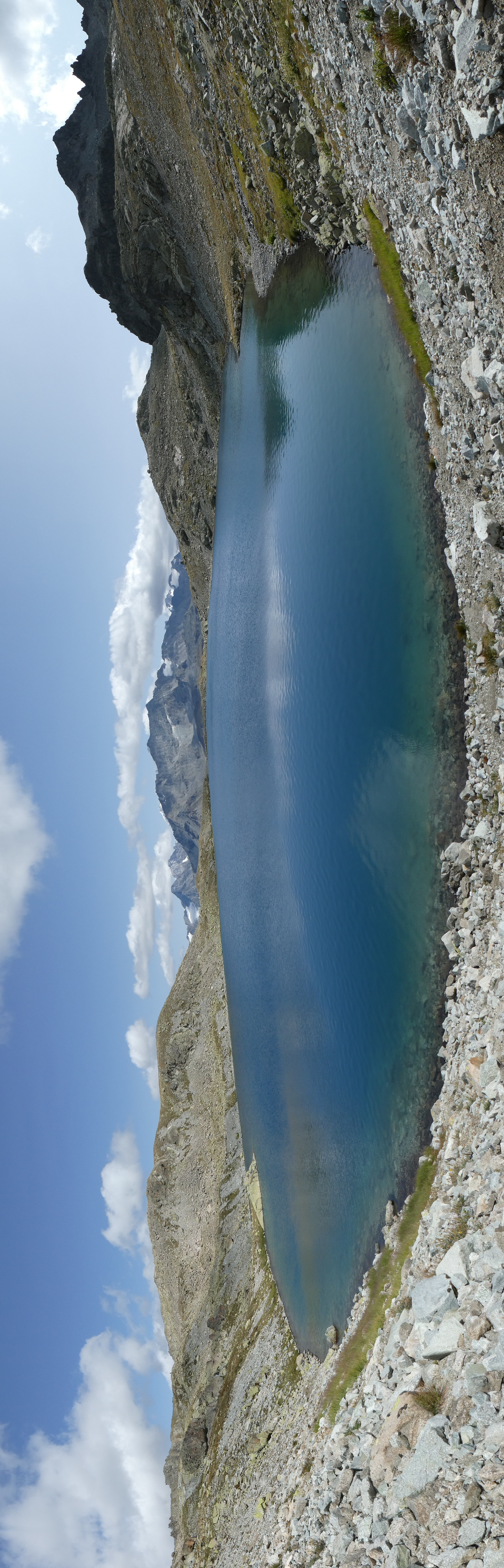
English: Lej da la Tscheppa, picture taken from north (Sils im Engadin/Segl, Grison, Switzerland). In the background Piz Boval, Piz Tschierva, Piz Morteratsch, Piz Palü, Piz Prievlus, Piz Bernina, Piz Murtel, Piz Corvatsch, Piz Glüschaint and Il Chapütschin.
Deutsch: Lej da la Tscheppa, aufgenommen vom Norden (Sils im Engadin/Segl, Graubünden, Schweiz). Im Hintergrund Piz Boval, Piz Tschierva, Piz Morteratsch, Piz Palü, Piz Prievlus, Piz Bernina, Piz Murtel, Piz Corvatsch, Piz Glüschaint und Il Chapütschin.
Rumantsch: Lej da la Tscheppa, piglia se davent digl nord (Sils im Engadin/Segl, Grischun, Svizra). Davos ve Piz Boval, Piz Tschierva, Piz Morteratsch, Piz Palü, Piz Prievlus, Piz Bernina, Piz Murtel, Piz Corvatsch, Piz Glüschaint e Il Chapütschin.
Italiano: Lej da la Tscheppa, fotografato dal nord (Sils im Engadin/Segl, Grigioni, Svizzera). Sullo sfonso Piz Boval, Piz Tschierva, Piz Morteratsch, Piz Palü, Piz Prievlus, Piz Bernina, Piz Murtel, Piz Corvatsch, Piz Glüschaint e Il Chapütschin. |
||
| Date | |||
| Source |
Own work
|
||
| Author | Capricorn4049 | ||
| Permission (Reusing this file) |
|

| Object location | | View this and other nearby images on: OpenStreetMap |
|---|
| Camera location | | View this and other nearby images on: OpenStreetMap |
|---|
Licensing[edit]
This file is licensed under the Creative Commons Attribution-Share Alike 4.0 International license.
- You are free:
- to share – to copy, distribute and transmit the work
- to remix – to adapt the work
- Under the following conditions:
- attribution – You must give appropriate credit, provide a link to the license, and indicate if changes were made. You may do so in any reasonable manner, but not in any way that suggests the licensor endorses you or your use.
- share alike – If you remix, transform, or build upon the material, you must distribute your contributions under the same or compatible license as the original.
| Annotations | This image is annotated: View the annotations at Commons |
File history
Click on a date/time to view the file as it appeared at that time.
| Date/Time | Thumbnail | Dimensions | User | Comment | |
|---|---|---|---|---|---|
| current | 23:29, 22 August 2017 | 3,984 × 1,280 (2.61 MB) | Capricorn4049 (talk | contribs) |
You cannot overwrite this file.
File usage on Commons
The following 2 pages use this file:
File usage on other wikis
The following other wikis use this file:
- Usage on arz.wikipedia.org
- Usage on en.wikipedia.org
- Usage on nn.wikipedia.org
- Usage on pt.wikipedia.org
- Usage on www.wikidata.org