File:Lienz SG8.JPG
Jump to navigation
Jump to search

Size of this preview: 800 × 532 pixels. Other resolutions: 320 × 213 pixels | 640 × 426 pixels | 1,024 × 681 pixels | 1,280 × 851 pixels | 3,008 × 2,000 pixels.
Original file (3,008 × 2,000 pixels, file size: 532 KB, MIME type: image/jpeg)
Captions
Captions
Add a one-line explanation of what this file represents
|
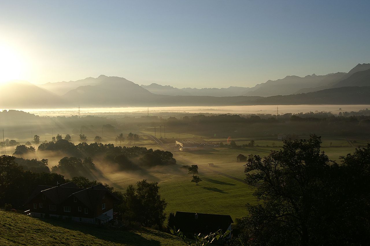
This image was selected as picture of the day on Wikimedia Commons for 21 October 2008. It was captioned as follows: Other languages:
Afrikaans: Oggendmis in die Rynvallei tussen Lienz / Altstätten en Rüthi Italiano: La nebbia mattutina nella valle del Reno tra Altstätten e Rüthi nel Canton San Gallo, Svizzera. Polski: Poranna mgła w dolinie Renu w Szwajcarii. 日本語: ラインツの朝もや --ローレライ伝説の舞台であるライン川は古独語の「流れ」を語源とし、古代から欧州における最長・最重要な可航水路の一つであり、国境の役割を果たしてきた。アルプスの源流から流域毎に呼び分けられて北海に注ぎ、源流から下った谷の町ラインツとその上流にあるリュッティ付近をアルペン・ラインと呼ぶ。日の出直後の平地を雲海のように覆う朝靄がライン川の流れとオーストリア国境を曖昧な縞模様で示している。 中文: 瑞士莱茵山谷的晨雾 |
| Description | |
| Date | |
| Source | Own work |
| Author | böhringer friedrich |
| Permission (Reusing this file) |
I, the copyright holder of this work, hereby publish it under the following license: This file is licensed under the Creative Commons Attribution-Share Alike 2.5 Generic license.
|
| Other versions |
|


| Camera location | | View this and other nearby images on: OpenStreetMap |
|---|
This Photo was taken by Böhringer Friedrich.
|
Feel free to use my photos, but please mention me as the author and if you want send me a message. or (rufre@lenz-nenning.at) |
This image has been assessed using the Quality image guidelines and is considered a Quality image.
|
File history
Click on a date/time to view the file as it appeared at that time.
| Date/Time | Thumbnail | Dimensions | User | Comment | |
|---|---|---|---|---|---|
| current | 19:46, 15 September 2007 | | 3,008 × 2,000 (532 KB) | Böhringer (talk | contribs) | {{Information |Description= {{de| Blick oberhalb von Lienz bei Rüthi ins Rheintal, Morgennebel} |Source= own work |Date= 2007-09-13 |Author= böhringer friedrich |Permission= |other_vers |
You cannot overwrite this file.
File usage on Commons
The following 60 pages use this file:
- Exzellente Bilder aus Vorarlberg
- Fog
- Vorarlberg
- User:Böhringer
- User:Böhringer/Archive 1
- User:Jklamo/Nature views
- User:Jon Harald Søby/Liz
- Commons:Featured picture candidates/Image:Lienz SG8.JPG
- Commons:Featured picture candidates/Log/August 2008
- Commons:Featured pictures/Places/Settlements
- Commons:Featured pictures/chronological/2008-B
- Commons:Picture of the Year/2008/Galleries/All
- Commons:Picture of the Year/2008/Galleries/Nature views
- Commons:Picture of the Year/2008/Results/Round 1/Gallery/All
- Commons:Picture of the Year/2008/Results/Round 1/Gallery/Nature views
- Commons:Picture of the Year 2008/File:Lienz SG8.JPG
- Commons:Potd/2008-10 (de)
- Commons:Potd/2008-10 (eo)
- Commons:Potd/2008-10 (nl)
- Commons:Potd/2008-10 (pl)
- Commons:Potd/2008-10 (pt)
- Commons:Potd/2008-10 (tr)
- Commons:Potd/2008-10 (zh-hant)
- Commons:Quality images/Subject/Places/Mixed/Archive2
- Commons:Quality images candidates/Archives December 2007
- File:Lienz SG1.JPG
- File:Lienz SG2.JPG
- File:Lienz SG3.JPG
- File:Lienz SG4.JPG
- File:Lienz SG5.JPG
- File:Lienz SG6.JPG
- File:Lienz SG7.JPG
- File:Lienz SG8.JPG
- Template:Potd/2008-10
- Template:Potd/2008-10-21
- Template:Potd/2008-10-21 (af)
- Template:Potd/2008-10-21 (cs)
- Template:Potd/2008-10-21 (da)
- Template:Potd/2008-10-21 (de)
- Template:Potd/2008-10-21 (en)
- Template:Potd/2008-10-21 (eo)
- Template:Potd/2008-10-21 (es)
- Template:Potd/2008-10-21 (fr)
- Template:Potd/2008-10-21 (hu)
- Template:Potd/2008-10-21 (is)
- Template:Potd/2008-10-21 (it)
- Template:Potd/2008-10-21 (ja)
- Template:Potd/2008-10-21 (nl)
- Template:Potd/2008-10-21 (pam)
- Template:Potd/2008-10-21 (pl)
- Template:Potd/2008-10-21 (pt)
- Template:Potd/2008-10-21 (ro)
- Template:Potd/2008-10-21 (ru)
- Template:Potd/2008-10-21 (sv)
- Template:Potd/2008-10-21 (uk)
- Template:Potd/2008-10-21 (zh-hans)
- Template:Potd/2008-10-21 (zh-hant)
- Template:Potd/2008-10 (eo)
- Template:Potd/2008-10 (ro)
- Template:Potd/2008-10 (zh-hans)
File usage on other wikis
The following other wikis use this file:
- Usage on bn.wikipedia.org
- Usage on crh.wikipedia.org
- Usage on cv.wikipedia.org
- Usage on eo.wikipedia.org
- Vikipedio:Bildo de la tago/2008 11
- Vikipedio:Bildo de la tago/2008 12
- Vikipedio:Bildo de la tago/2009 11
- Vikipedio:Bildo de la tago/2009 12
- Vikipedio:Bildo de la tago/2010 12
- Vikipedio:Bildo de la tago/2010 11
- Vikipedio:Bildo de la tago/2011 12
- Vikipedio:Bildo de la tago/2011 11
- Vikipedio:Bildo de la tago2/indekso/2
- Ŝablono:Bildo de la Tago2/67
- Usage on fi.wikiversity.org
- Usage on fr.wikipedia.org
- Usage on hi.wikipedia.org
- Usage on hu.wikipedia.org
- Usage on ko.wikipedia.org
- Usage on lbe.wikipedia.org
- Usage on mg.wikipedia.org
- Usage on os.wikipedia.org
- Usage on pl.wikipedia.org
- Usage on pt.wikipedia.org
- Usage on ru.wikipedia.org
- Usage on ru.wikinews.org
- Usage on sah.wikipedia.org
- Usage on simple.wikipedia.org
- Usage on th.wikipedia.org
- Usage on tt.wikipedia.org
- Usage on uk.wikipedia.org
- Usage on vi.wikipedia.org
- Usage on xal.wikipedia.org
- Usage on zh.wikipedia.org