File:LocBaleares.svg
Jump to navigation
Jump to search

Size of this PNG preview of this SVG file: 512 × 345 pixels. Other resolutions: 320 × 216 pixels | 640 × 431 pixels | 1,024 × 690 pixels | 1,280 × 863 pixels | 2,560 × 1,725 pixels.
Original file (SVG file, nominally 512 × 345 pixels, file size: 104 KB)
Captions
Captions
Tramontana, altura, metros, situación correcta
Summary[edit]
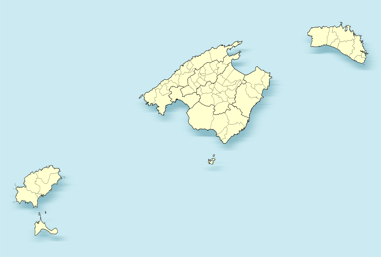
| Description | Mapa de las Islas Baleares (España) | |
| Date | ||
| Source | Own work | |
| Author | Miguillen | |
| SVG development | This locator map was created with Inkscape.
|
Licensing[edit]
I, the copyright holder of this work, hereby publish it under the following licenses:

|
Permission is granted to copy, distribute and/or modify this document under the terms of the GNU Free Documentation License, Version 1.2 or any later version published by the Free Software Foundation; with no Invariant Sections, no Front-Cover Texts, and no Back-Cover Texts. A copy of the license is included in the section entitled GNU Free Documentation License. |
This file is licensed under the Creative Commons Attribution-Share Alike 4.0 International, 3.0 Unported, 2.5 Generic, 2.0 Generic and 1.0 Generic license.
- You are free:
- to share – to copy, distribute and transmit the work
- to remix – to adapt the work
- Under the following conditions:
- attribution – You must give appropriate credit, provide a link to the license, and indicate if changes were made. You may do so in any reasonable manner, but not in any way that suggests the licensor endorses you or your use.
- share alike – If you remix, transform, or build upon the material, you must distribute your contributions under the same or compatible license as the original.
You may select the license of your choice.
File history
Click on a date/time to view the file as it appeared at that time.
| Date/Time | Thumbnail | Dimensions | User | Comment | |
|---|---|---|---|---|---|
| current | 18:33, 8 December 2010 | | 512 × 345 (104 KB) | Miguillen (talk | contribs) | mejora del mapa ya que el anterior tenía errores |
| 14:41, 2 March 2010 |  | 3,687 × 2,506 (2.5 MB) | Miguillen (talk | contribs) | mejoro trazos | |
| 00:30, 1 March 2010 |  | 3,687 × 2,506 (1.95 MB) | Miguillen (talk | contribs) | municipios | |
| 15:21, 28 February 2010 |  | 3,687 × 2,506 (640 KB) | Miguillen (talk | contribs) | ajuste posición | |
| 21:29, 27 February 2010 |  | 3,687 × 2,506 (614 KB) | Miguillen (talk | contribs) | borde | |
| 19:17, 27 February 2010 |  | 3,682 × 2,500 (614 KB) | Miguillen (talk | contribs) | fondo | |
| 19:15, 27 February 2010 |  | 3,682 × 2,500 (614 KB) | Miguillen (talk | contribs) | {{Information |Description=Mapa de las Islas Baleares (España) |Source={{own}} {{inkscape}} |Date=2010-02-27 |Author=Miguillen |Permission= |other_versions= }} Category:Locator maps of Balearic islands |
You cannot overwrite this file.
File usage on Commons
There are no pages that use this file.
File usage on other wikis
The following other wikis use this file:
- Usage on an.wikipedia.org
- Deià
- Palma de Mallorca
- Alaior
- Ciutadiella de Menorca
- Es Migjorn Gran
- Ferreries
- Maó
- Es Mercadal
- Sant Lluís
- Es Castell
- Eivissa
- Sant Antoni de Portmany
- Sant Josep de sa Talaia
- Sant Joan de Labritja
- Sant Rafel de sa Creu
- Santa Eulària des Riu
- Alcúdia
- Algaida
- Andratx
- Ariany
- Artà
- Banyalbufar
- Binissalem
- Bunyola
- Búger
- Campanet
- Campos (Balears)
- Capdepera
- Consell
- Costitx
- Escorca
- Esporles
- Estellencs
- Felanitx
- Fornalutx
- Inca (Balears)
- Sa Pobla
- Ses Salines
- Lloret de Vistalegre
- Lloseta (Mallorca)
- Llubí
- Llucmajor
- Mancor de la Vall
- Marratxí
- Maria de la Salut
- Montuïri
- Muro (Balears)
- Petra (Balears)
- Pollença
- Porreres
View more global usage of this file.