File:Manitou in Manitoulin.JPG
Jump to navigation
Jump to search

Size of this preview: 618 × 599 pixels. Other resolutions: 248 × 240 pixels | 495 × 480 pixels | 750 × 727 pixels.
Original file (750 × 727 pixels, file size: 110 KB, MIME type: image/jpeg)
Captions
Captions
Add a one-line explanation of what this file represents
Summary[edit]
| Description | |
| Date | |
| Source | Self made based on the product NASA World Wind |
| Author | NASA / Own work |
| Camera location | | View this and other nearby images on: OpenStreetMap |
|---|
Licensing[edit]
| This image is in the public domain because it is a screenshot from NASA’s globe software World Wind using a public domain layer, such as Blue Marble, MODIS, Landsat, SRTM, USGS or GLOBE.
|
 |
File history
Click on a date/time to view the file as it appeared at that time.
| Date/Time | Thumbnail | Dimensions | User | Comment | |
|---|---|---|---|---|---|
| current | 14:32, 31 May 2017 | | 750 × 727 (110 KB) | NordNordWest (talk | contribs) | contrast |
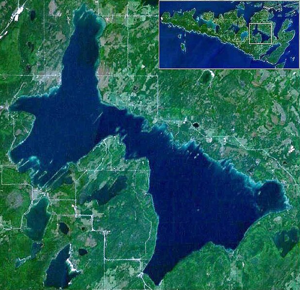
| 22:24, 25 October 2010 |  | 750 × 727 (71 KB) | Sparrov (talk | contribs) | {{Information |Description={{uk|1=Озеро Маніту, на врізці увесь острів Манітулін.}} {{en|1=Lake Manitou on the [[:en:Manitoulin Island|Manitoulin I |
You cannot overwrite this file.
File usage on Commons
The following page uses this file:
File usage on other wikis
The following other wikis use this file:
- Usage on arz.wikipedia.org
- Usage on be.wikipedia.org
- Usage on bg.wikipedia.org
- Usage on ca.wikipedia.org
- Usage on ceb.wikipedia.org
- Usage on cv.wikipedia.org
- Usage on de.wikipedia.org
- Usage on en.wikipedia.org
- Usage on eo.wikipedia.org
- Usage on es.wikipedia.org
- Usage on fi.wikipedia.org
- Usage on fr.wikipedia.org
- Usage on ja.wikipedia.org
- Usage on ka.wikipedia.org
- Usage on lv.wikipedia.org
- Usage on nl.wikipedia.org
- Usage on pl.wikipedia.org
- Usage on pt.wikipedia.org
- Usage on ru.wikipedia.org
- Usage on sv.wikipedia.org
- Usage on uk.wikipedia.org
- Usage on www.wikidata.org