File:Map Stourton Kilmington Jackson 1864 4.jpg
Jump to navigation
Jump to search
Size of this preview: 375 × 599 pixels. Other resolutions: 150 × 240 pixels | 300 × 480 pixels | 480 × 768 pixels | 641 × 1,024 pixels | 1,760 × 2,812 pixels.
Original file (1,760 × 2,812 pixels, file size: 827 KB, MIME type: image/jpeg)
Captions
Captions
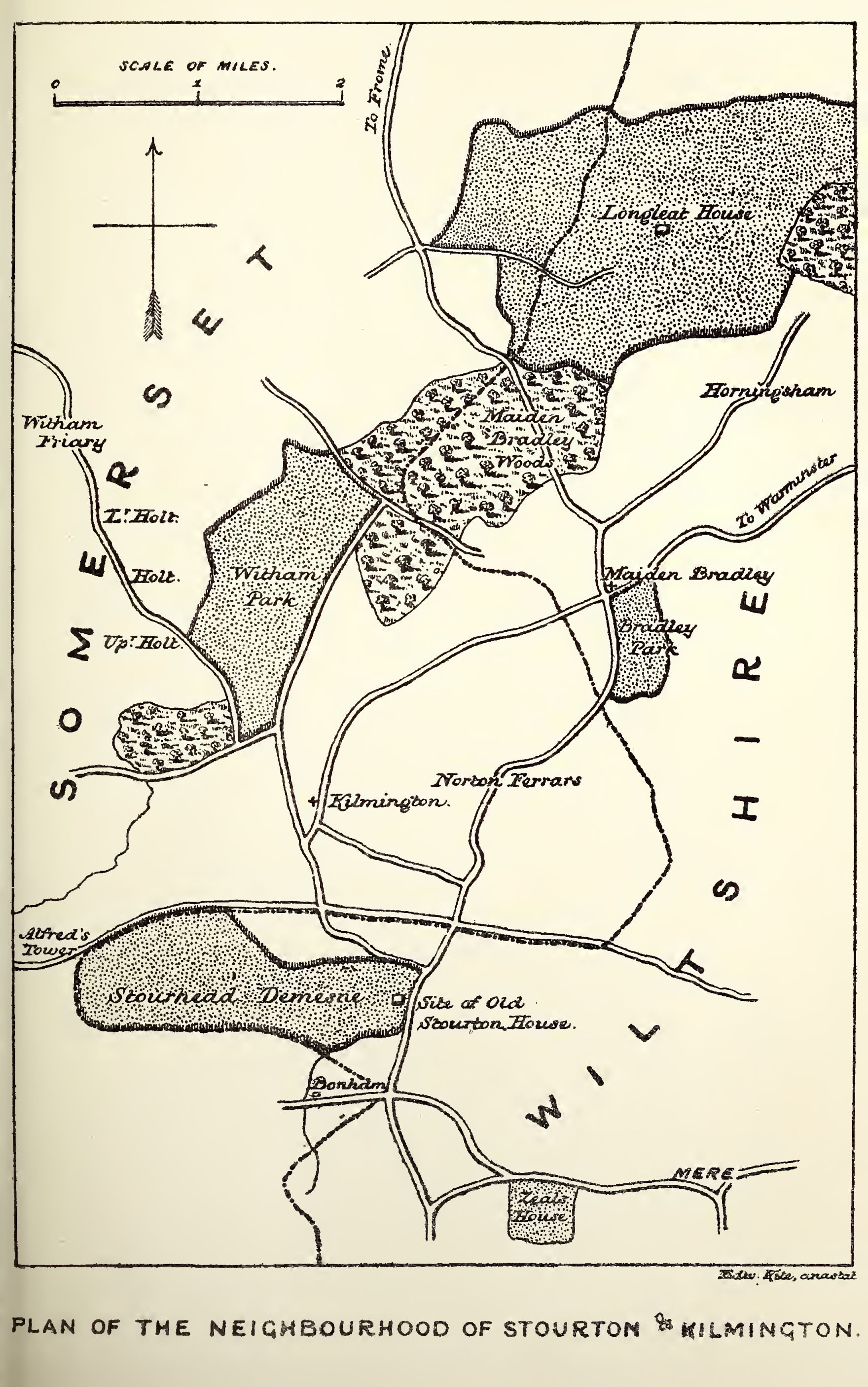
Map of Stourton and Kilmington
Summary
[edit]
| Description |
English: Map of the neighbourhood of Stourton and Kilmington. From: Jackson, John Edward (1864). "Charles, Lord Stourton, and the Murder of the Hartgills, January 1557". Wiltshire Archaeology and Natural History Magazine 8: 242-231. |
| Date | |
| Source | https://archive.org/details/jackson-1864-wiltshirearchaeo-8186godd |
| Author | Article author: Rev. John Edward Jackson (1805-1891) |
Licensing
[edit]
|
This work is in the public domain in its country of origin and other countries and areas where the copyright term is the author's life plus 70 years or fewer. This work is in the public domain in the United States because it was published (or registered with the U.S. Copyright Office) before January 1, 1929. | |
| This file has been identified as being free of known restrictions under copyright law, including all related and neighboring rights. | |
File history
Click on a date/time to view the file as it appeared at that time.
| Date/Time | Thumbnail | Dimensions | User | Comment | |
|---|---|---|---|---|---|
| current | 13:51, 1 December 2021 | | 1,760 × 2,812 (827 KB) | Kognos (talk | contribs) | Uploaded a work by Article author: Rev. John Edward Jackson (1805-1891) from https://archive.org/details/jackson-1864-wiltshirearchaeo-8186godd with UploadWizard |
You cannot overwrite this file.
File usage on Commons
There are no pages that use this file.