File:Map of 16th century Caribbean. Wellcome L0001228.jpg
(Redirected from File:Map of 16th century Carribean. Wellcome L0001228.jpg)
Size of this preview: 800 × 547 pixels. Other resolutions: 320 × 219 pixels | 640 × 438 pixels | 1,024 × 700 pixels | 1,280 × 875 pixels | 1,734 × 1,186 pixels.
Original file (1,734 × 1,186 pixels, file size: 496 KB, MIME type: image/jpeg)
Captions
Captions
Add a one-line explanation of what this file represents
Summary[edit]
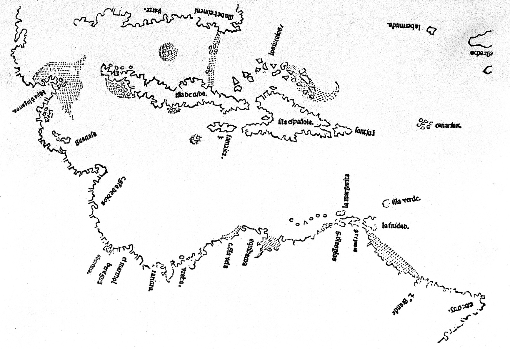
| Map of 16th century Caribbean. | |||
|---|---|---|---|
| Title |
Map of 16th century Caribbean. |
||
| Description |
Map of 16th century Caribbean. Wellcome Images |
||
| Credit line |
|
||
| References |
|
||
| Source/Photographer |
https://wellcomeimages.org/indexplus/obf_images/92/77/298dc506d46885f73231bebbd02e.jpg
|
||
Licensing[edit]
This file is licensed under the Creative Commons Attribution 4.0 International license.
- You are free:
- to share – to copy, distribute and transmit the work
- to remix – to adapt the work
- Under the following conditions:
- attribution – You must give appropriate credit, provide a link to the license, and indicate if changes were made. You may do so in any reasonable manner, but not in any way that suggests the licensor endorses you or your use.
File history
Click on a date/time to view the file as it appeared at that time.
| Date/Time | Thumbnail | Dimensions | User | Comment | |
|---|---|---|---|---|---|
| current | 17:04, 2 October 2014 | | 1,734 × 1,186 (496 KB) | Fæ (talk | contribs) | =={{int:filedesc}}== {{Artwork |artist = |author = |title = Map of 16th century Carribean. |description = Map of 16th century Carribean. <p>Wellcome Images<br> Keywords: Topography; Maps |date =... |
You cannot overwrite this file.
File usage on Commons
The following 2 pages use this file: