File:NB 2 (TCH).svg

Original file (SVG file, nominally 484 × 600 pixels, file size: 27 KB)
Captions
Captions
Summary[edit]
.svg&action=edit§ion=1)
| Description |
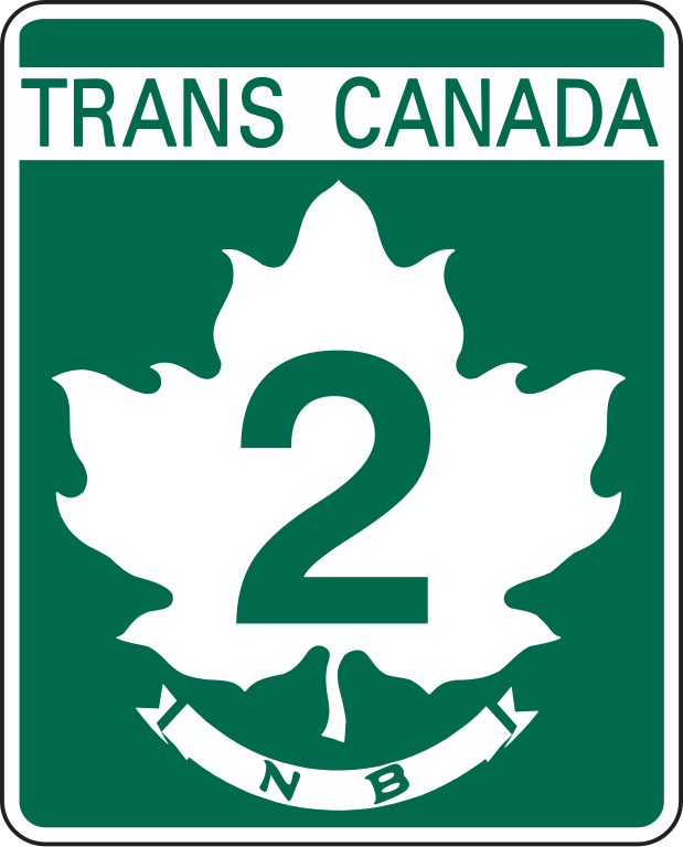
English: Shield for New Brunswick Route 2. |
| Date | |
| Source | This logo was first published in the first edition of the Manual of Uniform Traffic Control Devices for Canada in 1959. This exact image representation was made by commons:User:MuzikMachine and released into the public domain. |
| Author | Government of Canada (reconfigured by commons:User:MuzikMachine) |
| Other versions | File:New Brunswick Route 2 (TCH).png |
.png)
.svg)
Licensing[edit]
.svg&action=edit§ion=2)
This Canadian work is in the public domain in Canada because its copyright has expired due to one of the following:
it was not subject to Crown copyright, and
|
 |
File history
Click on a date/time to view the file as it appeared at that time.
| Date/Time | Thumbnail | Dimensions | User | Comment | |
|---|---|---|---|---|---|
| current | 18:47, 19 September 2018 | | 484 × 600 (27 KB) | MuzikMachine (talk | contribs) | Updated colour. |
| 16:03, 19 September 2018 |  | 484 × 600 (27 KB) | MuzikMachine (talk | contribs) | User created page with UploadWizard |
You cannot overwrite this file.
File usage on Commons
The following 3 pages use this file:
File usage on other wikis
The following other wikis use this file:
- Usage on de.wikipedia.org
- Usage on en.wikipedia.org
- Moncton
- Dieppe, New Brunswick
- Carleton County, New Brunswick
- Madawaska County, New Brunswick
- Queens County, New Brunswick
- Sunbury County, New Brunswick
- Victoria County, New Brunswick
- Westmorland County, New Brunswick
- York County, New Brunswick
- Autoroutes of Quebec
- List of New Brunswick provincial highways
- New Brunswick Route 1
- New Brunswick Route 7
- New Brunswick Route 95
- New Brunswick Route 3
- New Brunswick Route 8
- New Brunswick Route 11
- New Brunswick Route 15
- Témiscouata Regional County Municipality
- Waterborough Parish, New Brunswick
- New Brunswick Route 2
- Quebec Autoroute 20
- Quebec Route 185
- Moncton Parish, New Brunswick
- List of highways numbered 2
- New Brunswick Route 10
- New Brunswick Route 16
- New Brunswick Route 17
- Nova Scotia Highway 104
- Saint John River High Level Crossing
- Jemseg River Bridge
- Interstate 95 in Maine
- New Brunswick Route 101
- Sainte-Anne-de-Madawaska, New Brunswick
- Nova Scotia Trunk 2
- New Brunswick Route 102
- New Brunswick Route 104
- New Brunswick Route 105
- Quebec Autoroute 85
- New Brunswick Route 106
- New Brunswick Route 108
- New Brunswick Route 110
- New Brunswick Route 112
- New Brunswick Route 132
- New Brunswick Route 695
- New Brunswick Route 115
- Rivière-Verte, New Brunswick
- New Brunswick Route 103
- List of crossings of the Saint John River
View more global usage of this file.
.svg)
.svg&oldid=687469335)