File:NSG Innerer Oberspreewald Nordfliess 014.JPG
Jump to navigation
Jump to search

Size of this preview: 800 × 533 pixels. Other resolutions: 320 × 213 pixels | 640 × 427 pixels | 1,024 × 683 pixels | 1,280 × 853 pixels | 2,560 × 1,707 pixels | 5,472 × 3,648 pixels.
Original file (5,472 × 3,648 pixels, file size: 21.83 MB, MIME type: image/jpeg)
Captions
Captions
Add a one-line explanation of what this file represents
Summary[edit]
| Description |
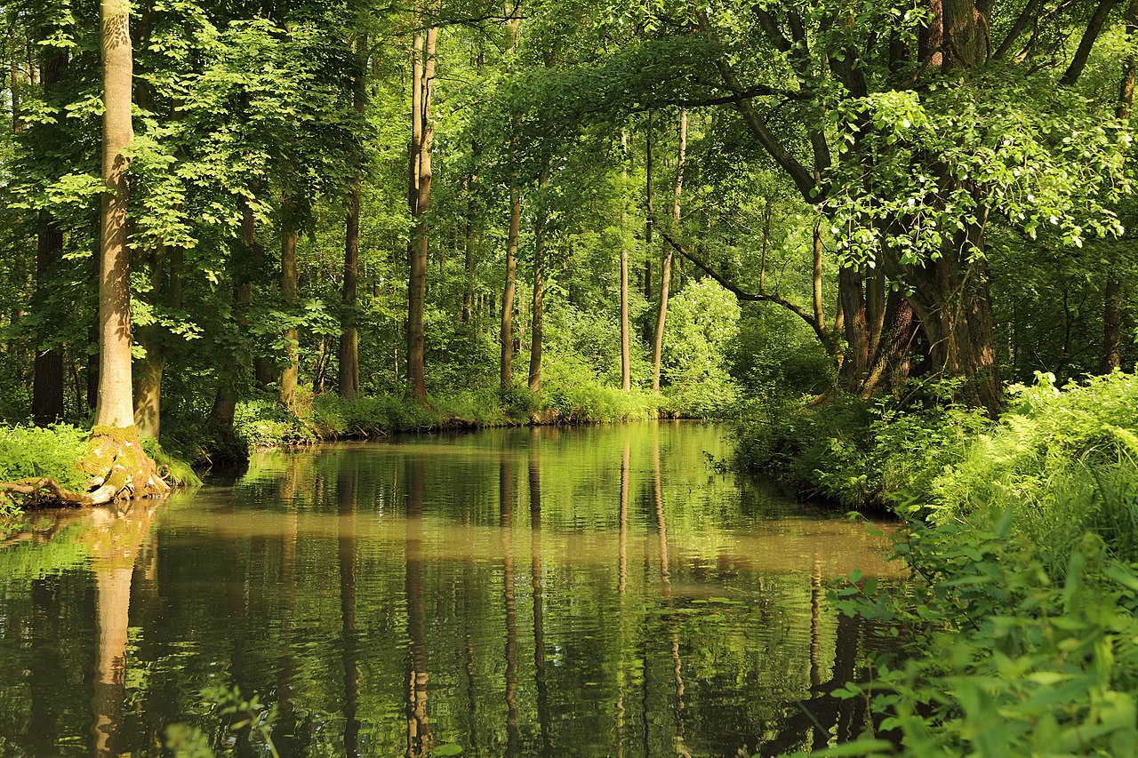
English: The Nordfließ within the nature reserve Innerer Oberspreewald (Naturschutzgebiet Innerer Oberspreewald) near Alt Zauche, Alt Zauche-Wußwerk, Landkreis Dahme-Spreewald, Brandenburg, Germany. Fließ is a typical Spreewald term for stream or beck, so Nordfließ means North[ern] Stream.
Deutsch: Das Nordfließ im Naturschutzgebiet Innerer Oberspreewald auf dem Gebiet der Gemeinde Alt Zauche-Wußwerk, Landkreis Dahme-Spreewald, Brandenburg, Deutschland.
|
||||||
| Date | |||||||
| Source | Own work | ||||||
| Author | J.-H. Janßen |
| Camera location | | View this and other nearby images on: OpenStreetMap |
|---|
Licensing[edit]
I, the copyright holder of this work, hereby publish it under the following licenses:

|
Permission is granted to copy, distribute and/or modify this document under the terms of the GNU Free Documentation License, Version 1.2 or any later version published by the Free Software Foundation; with no Invariant Sections, no Front-Cover Texts, and no Back-Cover Texts. A copy of the license is included in the section entitled GNU Free Documentation License. |
This file is licensed under the Creative Commons Attribution-Share Alike 3.0 Unported, 2.5 Generic, 2.0 Generic and 1.0 Generic license.
- You are free:
- to share – to copy, distribute and transmit the work
- to remix – to adapt the work
- Under the following conditions:
- attribution – You must give appropriate credit, provide a link to the license, and indicate if changes were made. You may do so in any reasonable manner, but not in any way that suggests the licensor endorses you or your use.
- share alike – If you remix, transform, or build upon the material, you must distribute your contributions under the same or compatible license as the original.
You may select the license of your choice.
File history
Click on a date/time to view the file as it appeared at that time.
| Date/Time | Thumbnail | Dimensions | User | Comment | |
|---|---|---|---|---|---|
| current | 19:52, 23 June 2015 | | 5,472 × 3,648 (21.83 MB) | J.-H. Janßen (talk | contribs) | {{Information |Description={{en|1=The ''Nordfließ'' within the nature reserve ''Innerer Oberspreewald'' (''Naturschutzgebiet Innerer Oberspreewald'') near Neu Zauche, [[:Category:Landkreis Dahme-Spreewald|Landkreis Dahme-Spre... |
You cannot overwrite this file.
File usage on Commons
There are no pages that use this file.
File usage on other wikis
The following other wikis use this file:
- Usage on de.wikipedia.org
- Usage on de.wikivoyage.org
- Usage on es.wikipedia.org
- Usage on lv.wikipedia.org