File:National Atlas Louisiana east detailed.gif
Jump to navigation
Jump to search
No higher resolution available.
National_Atlas_Louisiana_east_detailed.gif (490 × 600 pixels, file size: 70 KB, MIME type: image/gif)
Captions
Captions
Add a one-line explanation of what this file represents
| Description |
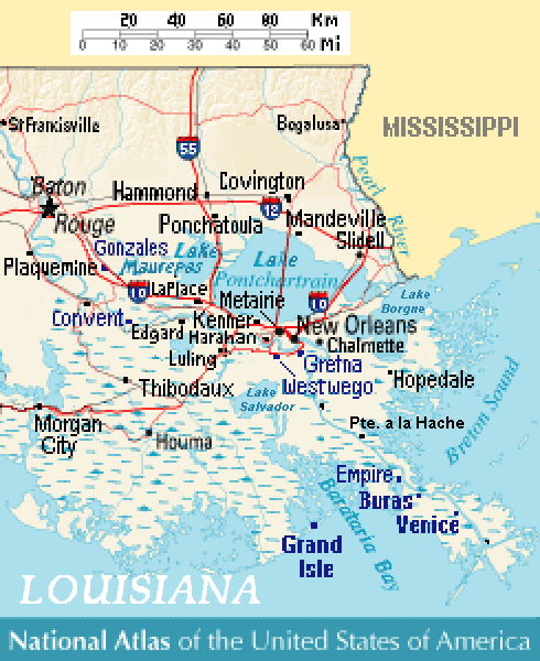
Close view of east-southeast Louisiana (USA), showing areas of Baton Rouge, New Orleans, Metairie, Chalmette, Gretna, Westwego, Harahan, Luling, Kenner, LaPlace, Edgard, Convent, Slidell, Mandeville, Covington, Ponchatoula, Empire, Buras, Venice, and Grand Isle, Louisiana. Lakes include: Lake Pontchartrain, Lake Maurepas (west), and Lake Salvador (south). |
| Date | |
| Source | Except from National Atlas of the United States, with more towns labeled/clarified. |
| Author | MyName (Wikid77) |
| Other versions | (none yet) |
References[edit]
- Louisiana-Map.org, webpage: LaMap-Louisiana-road-map (shows town/lake names).
This map was obtained from an edition of the National Atlas of the United States. Like almost all works of the U.S. federal government, works from the National Atlas are in the public domain in the United States.
Online access: NationalAtlas.gov | 1970 print edition: Library of Congress, Perry-Castañeda Library
|
File history
Click on a date/time to view the file as it appeared at that time.
| Date/Time | Thumbnail | Dimensions | User | Comment | |
|---|---|---|---|---|---|
| current | 14:08, 9 July 2007 | | 490 × 600 (70 KB) | Wikid77 (talk | contribs) | added labels "en:Lake Borgne" & "Lake Salvador" + "Pte. a la Hache" |
| 13:45, 9 July 2007 |  | 490 × 600 (69 KB) | Wikid77 (talk | contribs) | curved "LOUISIANA"; clarified "Lake"; spelling "Barataria Bay" was "Barararia" | |
| 12:05, 9 July 2007 |  | 490 × 600 (69 KB) | Wikid77 (talk | contribs) | {{Information | Description= Close view of east-southeast Louisiana (USA), showing areas of Baton Rouge, New Orleans, Metairie, Chalmette, Gretna, Westwego, [[:en: |
You cannot overwrite this file.
File usage on Commons
There are no pages that use this file.
File usage on other wikis
The following other wikis use this file:
- Usage on en.wikipedia.org
- Usage on eu.wikipedia.org
- Usage on fr.wikipedia.org
- Usage on pt.wikipedia.org
- Usage on ru.wikipedia.org