File:Neighborhood of Fort Monroe & Norfolk Harbour Virginia - from the U.S. Coast Survey LOC lva0000183.jpg
Jump to navigation
Jump to search

Size of this preview: 793 × 599 pixels. Other resolutions: 318 × 240 pixels | 635 × 480 pixels | 1,016 × 768 pixels | 1,280 × 967 pixels | 2,560 × 1,935 pixels | 4,607 × 3,482 pixels.
Original file (4,607 × 3,482 pixels, file size: 1.74 MB, MIME type: image/jpeg)
Captions
Captions
Add a one-line explanation of what this file represents
Summary[edit]
| Description |
English: This item is in the Map Collection of the Library of Virginia; please contact the Library's Archives Research Services department for more information. Available also through the Library of Congress web site as raster image. June 1982, Walter Reuben; Feb. 2004, Map Cataloging Team. Civil War project no.: lva00183. Conservation: Etherington Conservation Center, Dec. 2003. Digital image available: 7.25 x 9.75 in. Map accession no. 4501 (1982). Previously filed as: 755.51 ca. 1862? |
||
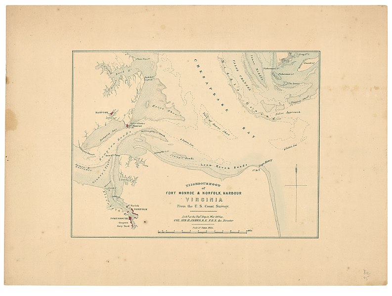
| Title | Neighborhood of Fort Monroe & Norfolk Harbour Virginia : from the U.S. Coast Survey | ||
| Shelf ID | https://www.loc.gov/item/lva0000183/ | ||
| Date | |||
| Source | https://www.loc.gov/item/lva0000183/ | ||
| Author | James, H.; Great Britain. War Office. Topographical Depot | ||
| Permission (Reusing this file) |
|
||
| Other versions |
|
||
| Location | Hampton Roads Region · United States · Fort Monroe · Virginia · Norfolk Region | ||
| Part of | Military Battles And Campaigns · American Memory · Civil War Maps · Geography And Map Division | ||
| Subject | Fort Monroe (Va.) · Norfolk Region (Va.) · Hampton Roads Region · Hampton Roads Region (Va.) · Virginia · Civil War · United States · Maps · Norfolk Region · Fort Monroe · History |


Licensing[edit]
|
This is a faithful photographic reproduction of a two-dimensional, public domain work of art. The work of art itself is in the public domain for the following reason:
The official position taken by the Wikimedia Foundation is that "faithful reproductions of two-dimensional public domain works of art are public domain".
This photographic reproduction is therefore also considered to be in the public domain in the United States. In other jurisdictions, re-use of this content may be restricted; see Reuse of PD-Art photographs for details. | ||||
File history
Click on a date/time to view the file as it appeared at that time.
| Date/Time | Thumbnail | Dimensions | User | Comment | |
|---|---|---|---|---|---|
| current | 20:04, 20 May 2018 | | 4,607 × 3,482 (1.74 MB) | Fæ (talk | contribs) | LOC Maps https://www.loc.gov/item/lva0000183/ #362 |
You cannot overwrite this file.
File usage on Commons
The following page uses this file: